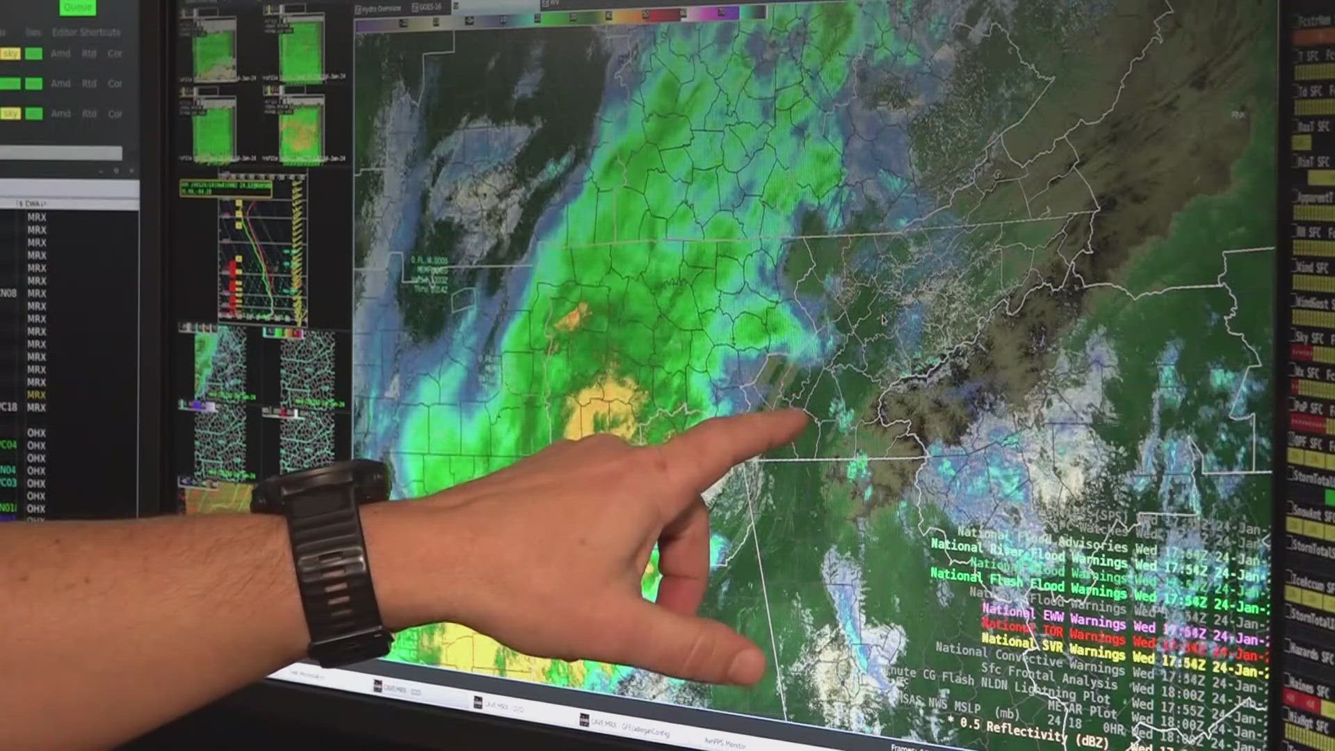
KNOXVILLE, Tenn. — Around a week ago, East Tennessee braced for a severe and deadly storm that froze roads and dumped several inches of snow across the region. As of Wednesday, rain is pouring on top of that snow, bringing Flood Watches to the region.
In Anderson County, leaders expected up to 3 inches of rain to pound the saturated ground, causing flooding concerns. It was under a Flood Watch along with parts of Blount County, Campbell County, Claiborne County, Knox County, Loudon County, McMinn County, Morgan County and Sevier County.
"Flooding is the number two weather-related killer," said Anthony Cavallucci from the National Weather Service. "Like, we cannot get a break."
In East Tennessee's NWS office, there have been around ten straight days of weather updates. Across the area Wednesday, forecasters called for up to 4 inches of rain. More rain is also expected over the weekend.
"The issue is that it's not just going to be one rainfall, and that's it. It's going to one rain, followed by another several hours of rain, followed by another," said Cavallucci. "Any extra precipitation that falls over a long period of time isn't going to get drawn into the soil."
The additional rain could also trigger mudslides as well as flooding, bringing concerns for some of East Tennessee's mountainous counties. Landslides could pose danger for roads in the area, and overflowing creeks could bring flooding too.
"With the added melting snow on top of rainfall, it's a different thing that we've had encountered," said Brice Kidwell, Director of Anderson County's Emergency Management Agency. "I think it's gonna create a significant amount of water in our creeks and rivers."

