KNOXVILLE, Tenn. — Get ready, East Tennessee. A significant amount of snow is on the horizon.
The National Weather Service on Sunday issued a Winter Storm Warning for East Tennessee that will be in effect starting early Monday morning into Tuesday morning as a snowy system makes its way to the area.
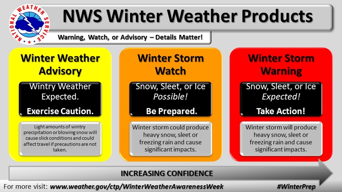
Previously, the NWS issued a Winter Storm Watch on Saturday to give people a heads-up to prepare. The NWS also can also issue Winter Weather Advisories depending on the circumstances.
So what's the difference? For most people -- the difference in the alerts is how much the wintry weather will impact you. Winter weather alerts are there to tell you about the potential for wintry weather as well as the potential impact it will have on roads.
When it comes to impact, a Winter Weather Advisory is the lowest level alert that NWS issues. An advisory means some low-impact wintry weather is expected within the next 12 to 36 hours that could cause travel difficulties -- such as a dusting of snow or light sleet that could make roads slick. If you see an advisory, it means you need to use extra caution when driving: slow down a little and put some more space between you and other drivers.
The next level of severity is a Winter Storm Watch, which means there's the potential for dangerous wintry weather such as accumulating snow, ice or heavy sleet in the forecast. If you see a watch issued, that means wintry weather is coming in a day or so and you need to prepare before the storm arrives. The NWS will issue a watch at least 24 hours in advance of a winter storm, and usually this watch will be upgraded to a Winter Storm Warning or downgraded to a Winter Weather Advisory depending on how the forecast models change.
Finally, there's the Winter Storm Warning. This is the most urgent of the three alerts, and the NWS issues this when wintry weather is expected to create dangerous conditions for an area and impact people with heavy snow, sleet or freezing rain. Once the warning takes effect, you need to take action. For most people without winter-prepped vehicles -- that means staying warm indoors and staying off dangerous/impassable roads until conditions improve.


So, to sum it up:
- If you see a Winter Weather Advisory, that means you don't really need to rush to the grocery store. Just be aware that roads could be slick and exercise caution.
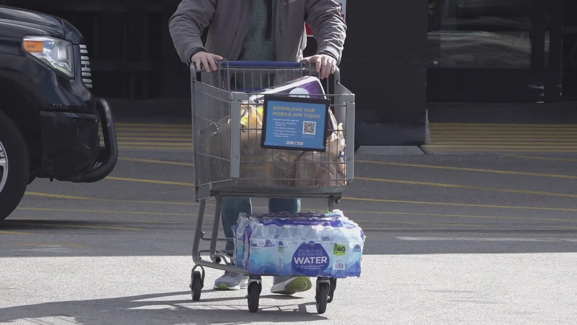
- If you see a Winter Weather Watch, that means you need to prepare and make plans before the wintry weather arrives in the event roads become dangerous to drive on. Stock up on non-perishable food, bottled water and emergency supplies just in case.
- If that watch is upgraded to a Winter Storm Warning, that means you need to take action and expect that roads will become dangerous if not impossible to drive on until the snow stops. Essentially: Stay prepared, stay home and wait it out until crews can plow and treat the roads.
Here's a list of things the NWS and other agencies recommend people keep in an emergency supply kit:


"At a minimum, emergency preparedness kits should include one gallon of water per-day, per-person for three to five days. Additional supplies include non-perishable food, flashlight, battery-powered radio, extra batteries, first aid kit, personal hygiene items, cell phone charger, copies of important family documents, pet food, and extra supplies of medications, especially for those with chronic health conditions," the Tennessee Emergency Management Agency said.

