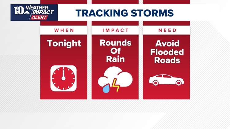
KNOXVILLE, Tenn. — East Tennessee saw storms sweep through the region on Tuesday, bringing strong winds and plenty of rain. It led to flooding that blocked roads and damage that temporarily knocked out power for thousands of people.
Another round of storms entered the region between 8 p.m. and 9 p.m. on Thursday. While the main concern is for flash flooding, there is also chances of damaging winds in Kentucky. An isolated tornado is also not out of the question.
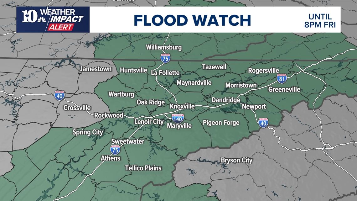
A Flash Flood Watch was also issued until 8 p.m. on Friday, and it comes after several days of rain which saturated the soil, resulting in water puddling quickly. Streams and rivers could also grow quickly during storms, and anyone nearby them should watch for rising water levels.
When will the weather impact?


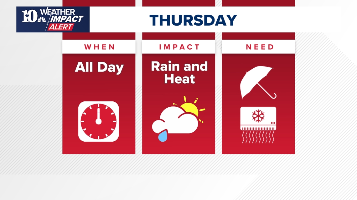
On Thursday, temperatures may also rise and the risk of rain can linger in East Tennessee. The result can be a muggy and humid day, that brings the risk of heat-related illnesses combined with the risk of flooding. People should continue staying vigilant of possible floods, while also making sure to stay hydrated and cool throughout the day.

What's the impact?

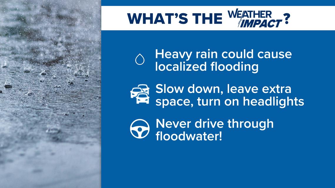

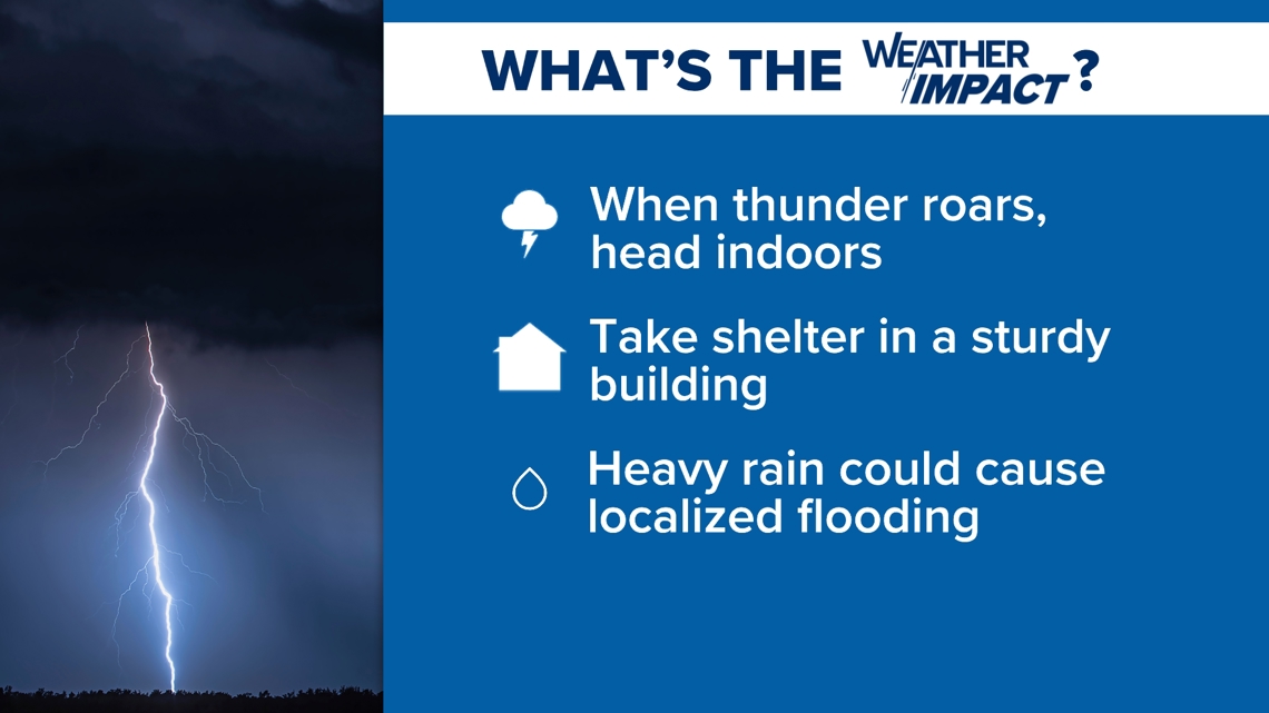
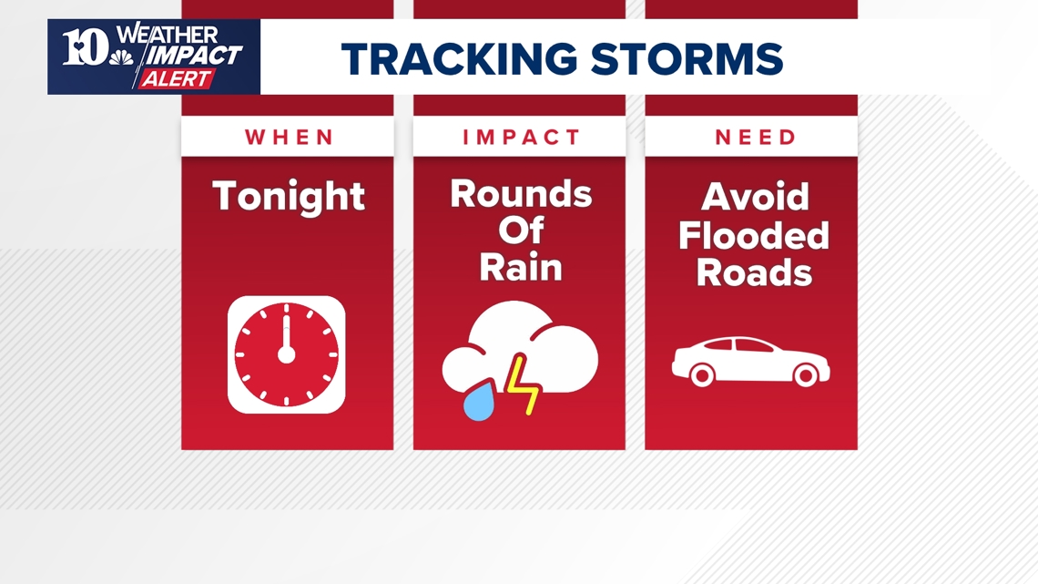
Storms can cause decreased visibility on the roads, and while Flash Flood Watches are in effect there is a higher chance of floods covering some parts of major roads. Nobody should drive through flooding — often large puddles may be deeper than they appear, trapping people in their vehicles if they try to go through them.
Drivers should make sure to slow down, leave extra space between vehicles and ensure their headlights are turned on when on the road. The best safety measure is to generally avoid the roads during severe weather.
Gusty winds and small hail are also possible. With the ground saturated from previous storms, it could also be easier for trees to fall — causing damage and potentially taking out power for some communities.


