KNOXVILLE, Tenn. — ***A Severe Thunderstorm Warning was issued for Blount, Sevier and McMinn counties until 6:45 p.m. EDT. A Flash Flood Warning was issued for Greene County until 9:15 p.m.**
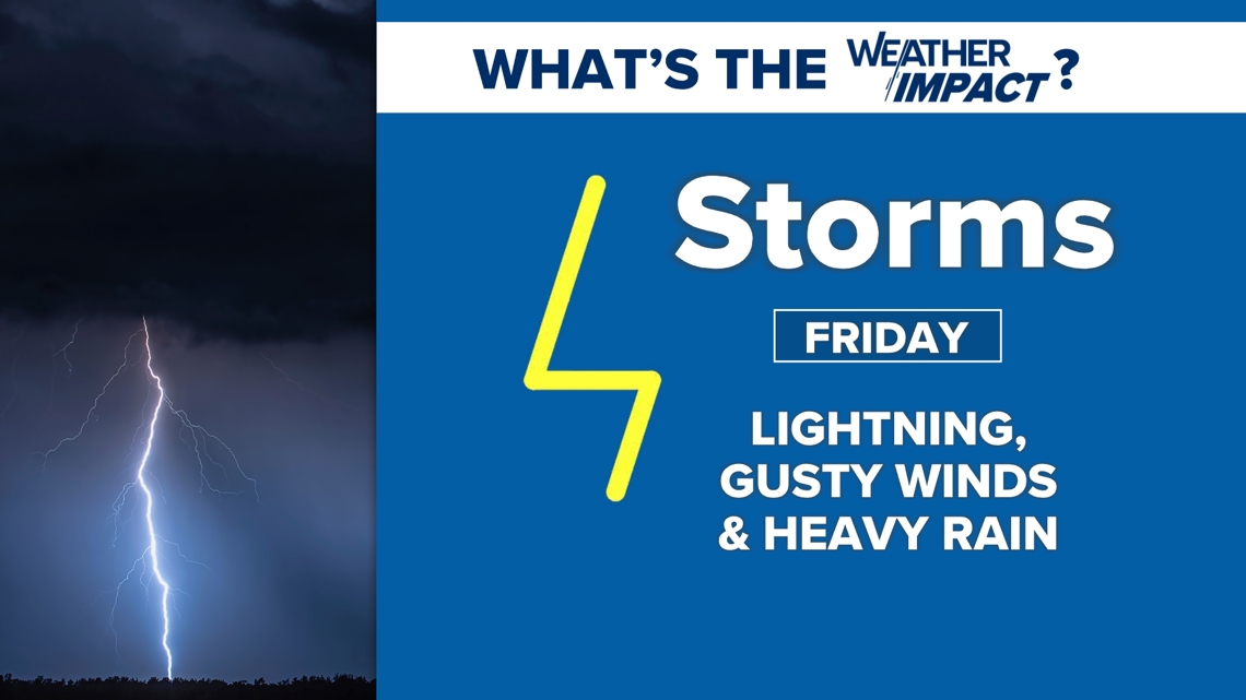
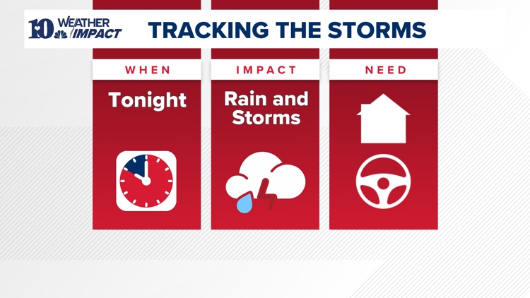
Storms are expected to continue moving through East Tennessee Friday night, with the chance of storms lingering until at least 10 p.m. The storms bring the possibility of damaging winds and heavy rains.
Nearly all of East Tennessee is facing the least severe level of severe storm risk — level one of five. At that risk level, people may see a few isolated strong storms.
When will the weather impact me?


A Weather Impact Alert will be in place at least until 10 p.m. on Friday, indicating that people should stay wary of storms moving through the region. Rainfall and thunder may not constantly sound, and instead, the day may have sporadic showers that develop.
Wind is among the biggest threats, which can speed up with little warning. The storms could also bring heavy rain.
What's the impact?
It's important people remember that if thunder booms, they should go inside. Thunder signals an approaching strong storm that could cause damage. Rain could also cause puddles to form along some roads, and so drivers should use caution.
Never drive through a flooded area of road — there's no telling how deep it actually is. Attempting to drive through one can severely damage vehicles and cause people to become trapped in their cars.
Gusty winds can also send some small debris flying, so people should make sure that anything they need from outside that isn't either heavy or bolted down is brought inside their homes.