Snowfall totals can vary quiet a bit across the forecast area, but why do some places ALWAYS seem to have more snow than others?
It has to do with topography, or the way that the land is shaped.
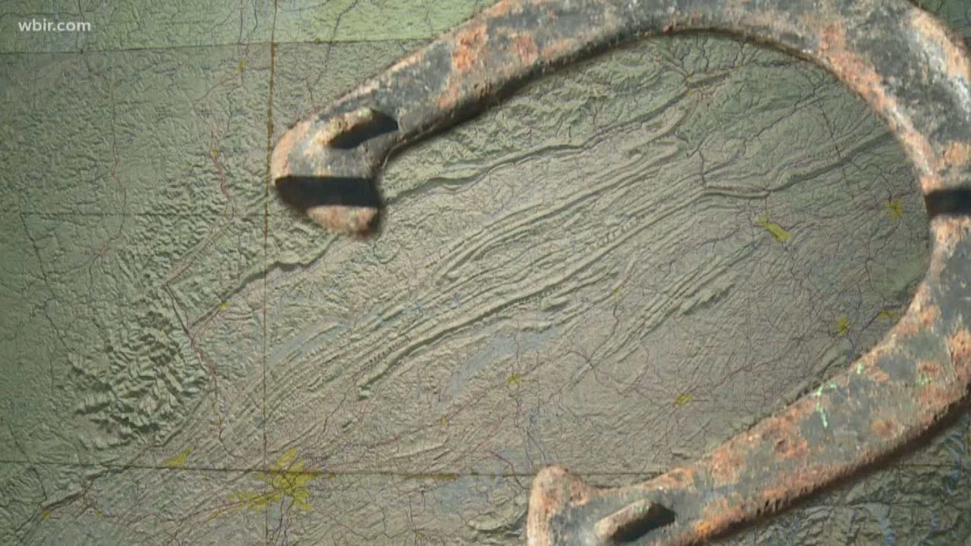
"Often times you’ll see snowfall forecasts in a 'horseshoe-like' pattern around the forecast area," said Anthony Cavallucci, a meteorologist at the National Weather Service in Morristown.
Basically the terrain features of the Cumberland Plateau, the Cumberland Mountains and the Great Smoky Mountains border the Tennessee Valley on three sides to create the horseshoe shape.
"The higher the elevation, the cooler the temperatures," said Cavallucci.
Therefore, snowfall totals tend to be higher as you go up in elevation.
For example, Crossville is located on the Cumberland Plateau and has an elevation of about 1,850 feet. The city averages about 11.5" of snow each winter.
Meanwhile, Knoxville is located in the Tennessee with an elevation of about 880 feet and only averages about 6" of snow each winter.
If you really want to see some big snow totals, just travel up to the highest elevations of the Smokies (if the roads are open). Clingmans Dome at averages anywhere from 6 to 8 feet of snow over the winter months.
This variation in topography makes forecasting snow totals very difficult.
Dave Hotz, a meteorologist at the National Weather Service in Morristown, warns against trusting information you may see floating around on social media.
"You’ll begin to see some people try to put snowfall total forecasts out for many days in advance but just be wary because those forecasts will continue to change as we get closer and closer to the event."
It's important to check back for updates anytime there is bad weather on the way.
Another thing to remember is that each winter storm is different.
"If you have a very warm couple of days, the ground temperature is warm, the roads are warm. You might get a couple of inches of snow and may just have wet roads and the snow stays on the grassy surfaces. But on the other side of things, if you have a system that comes in, the roads are cold and things are ready to stick, even just a half to one inch of snowfall can be a big problem across our area," said Hotz.

