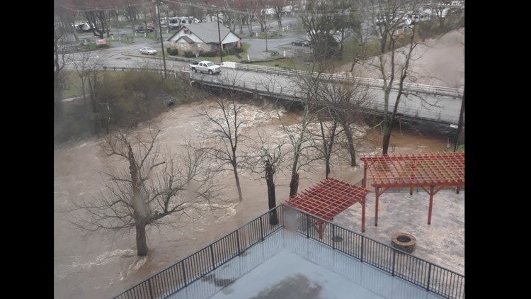
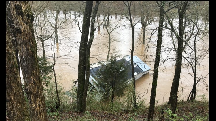
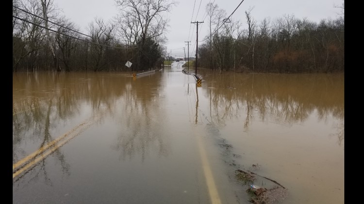
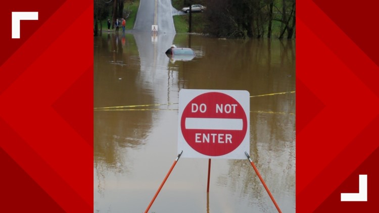
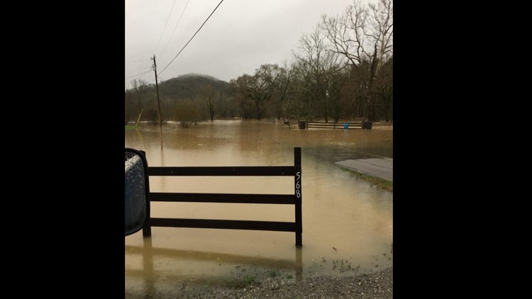
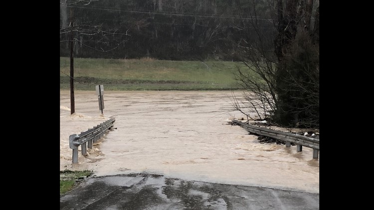
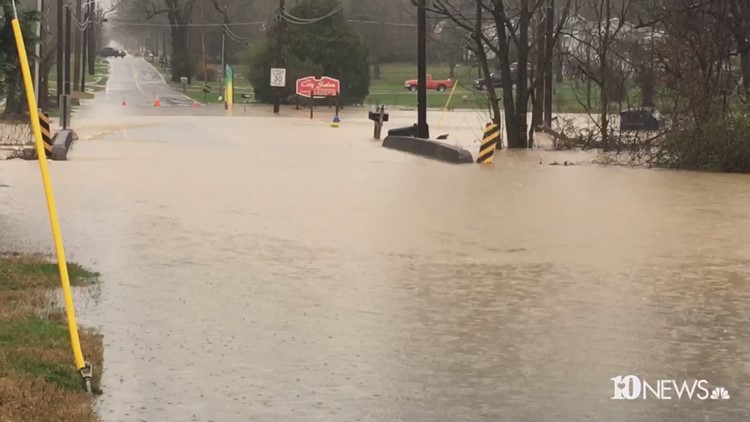
NASHVILLE, Tennessee — As the Tennessee Emergency Management Agency issues a State of Emergency amid widespread flooding, the governor is cautioning people to remain on high alert.
Tennessee Gov. Bill Lee is asking Tennesseans today to follow the instructions of emergency officials and stay on alert due to rising flood waters and the potential for more severe weather this afternoon.
“Our departments and agencies are monitoring the ongoing weather developments in our state and they are coordinating to be fully prepared,” Lee said in a statement.
In a press release, The Tennessee Emergency Management Agency (TEMA) says they are working with state and local officials to address flooding requests and needs at a local level.
Additionally, TEMA activated the Tennessee Emergency Management Plan and enact a State of Emergency in Place in Tennessee.
The state is under a Level 3 emergency which means a serious emergency or minor disaster has occurred or a situation is deteriorating rapidly and public warnings are being issued. The Tennessee Emergency Management Plan (TEMP) is activated and a state of emergency is automatically declared per TCA 58-2-107. Key or specifically needed emergency service coordinators for state departments are recalled to duty the State's Emergency Operations Center, according to TEMA's website.
Governor Lee is also cutting short trips in Washington D.C. in order to better monitor the flooding situation back home.
“Everyone should pay close attention to weather forecasts today and have multiple ways to receive weather watches and warnings,” said TEMA Director Patrick Sheehan. “Those who may have experienced any storm or flooding damage already should contact their county emergency management agencies to report issues, contact their insurance agencies, and keep track of any repairs they make.”
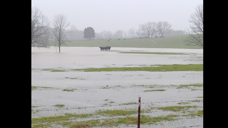
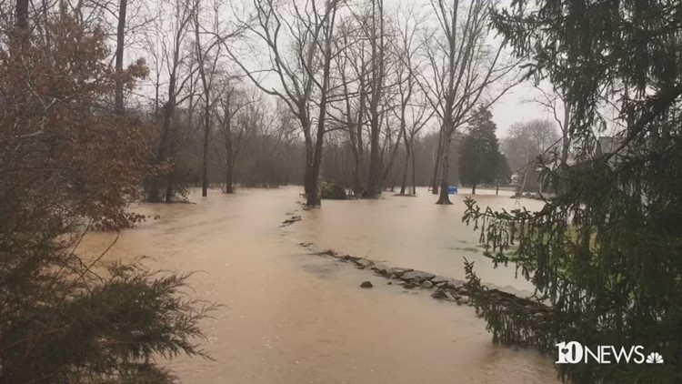
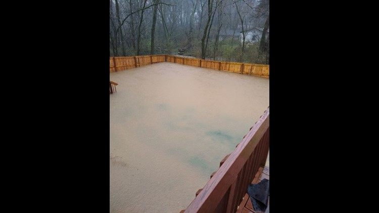
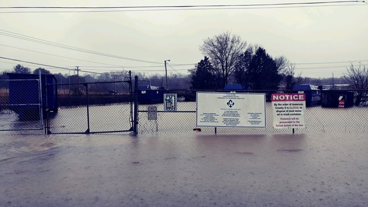
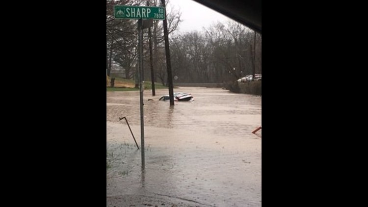
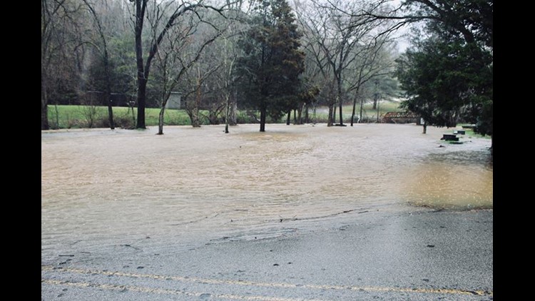
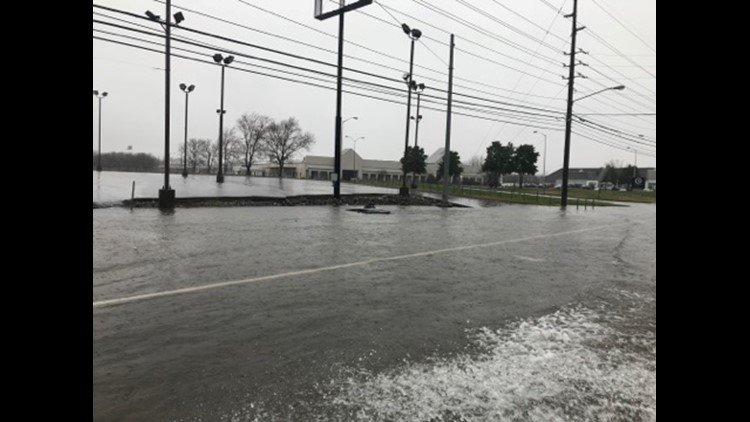
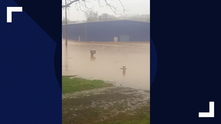
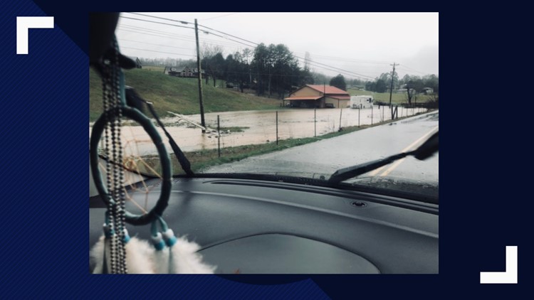
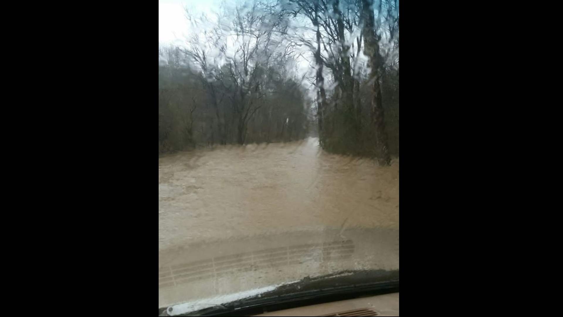
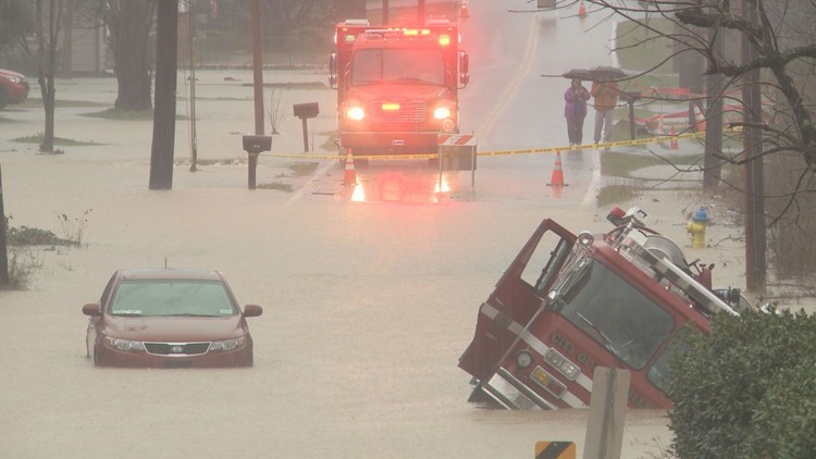
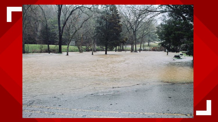
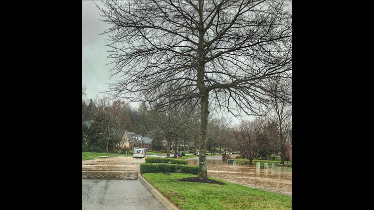
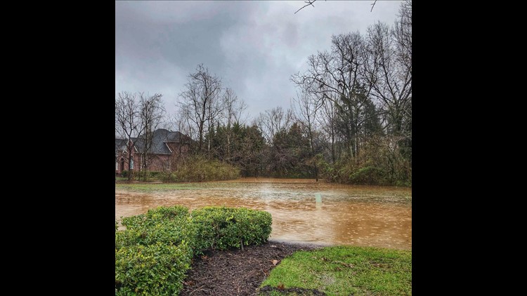
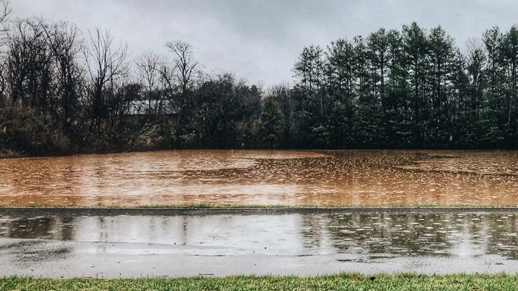
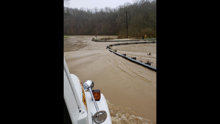
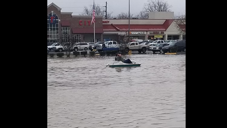
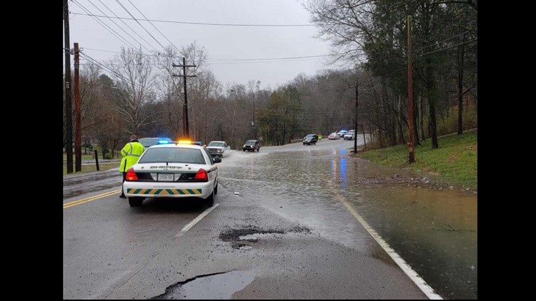
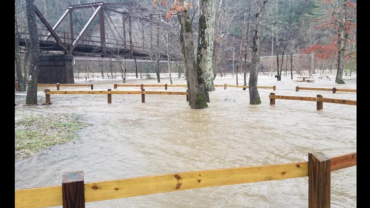
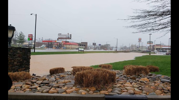
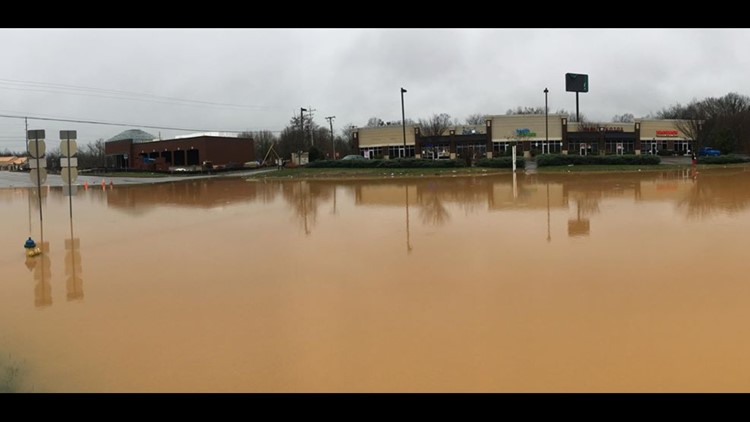
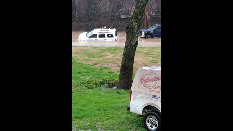
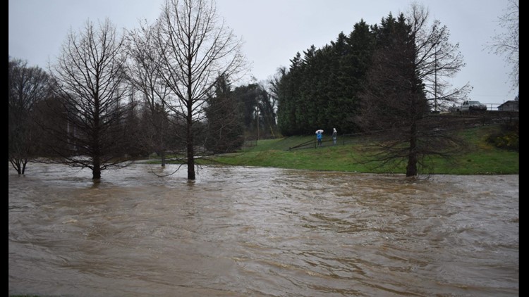
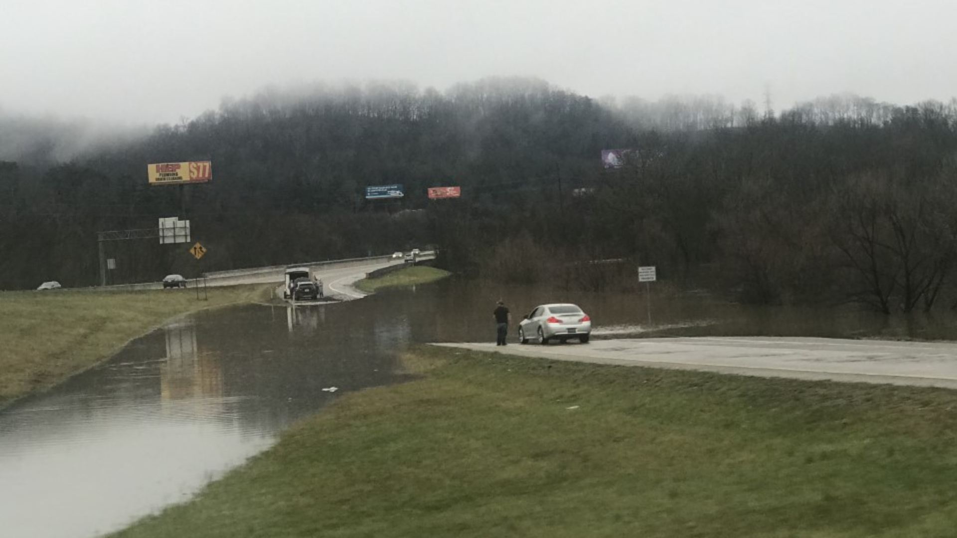
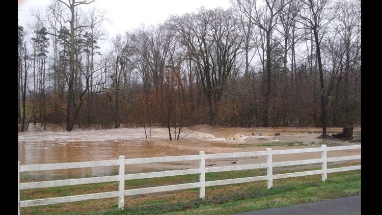
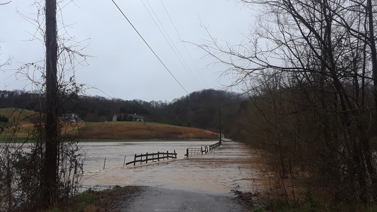
Flooding across East Tennessee, Feb. 23, 2019
The state says it is making several flooding response preparations which include:
- The Tennessee Department of Agriculture is coordinating among state, local, and industry resources to identify immediate emergency agricultural and livestock needs and will work with the USDA to assess farm damages in the coming weeks.
- The Tennessee National Guard has readied aviation and boat resources for response and has sandbagging equipment and troops and airmen available to help if needed.
- The Fire Marshall’s Office and the Tennessee Fire Chiefs Mutual Aid System are coordinating potential mutual aid requests and readying swift-water rescue teams for potential deployment.
- TDEC is communicating with water and wastewater systems to ensure infrastructure is not impacted or damaged.
- USACE and the Tennessee Valley Authority are communicating the status of their dam projects and storage and flows along the rivers and tributaries to TEMA, and USACE Nashville has activated their flood monitoring unit and is actively working to ensure the best balance for safeguarding infrastructure, property and materials.
There is potential for more severe weather this afternoon.
A cold front is already making its way through west Tennessee today and will bring with it the chance for thunderstorms, damaging winds, and the possibility of tornadoes. Flooding will continue to pose a threat as Flood Warnings remain in place across Tennessee through the weekend.
An additional concern will be the toppling of trees due to wind and saturated soil.


