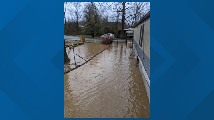
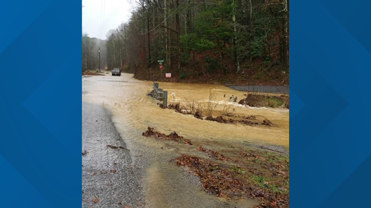
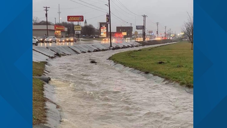
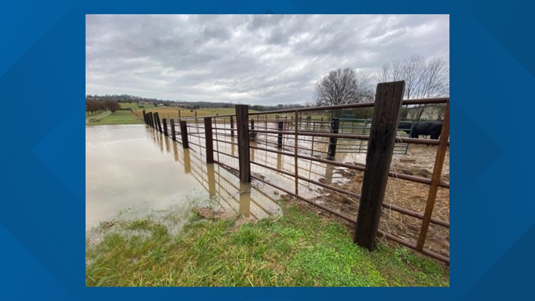
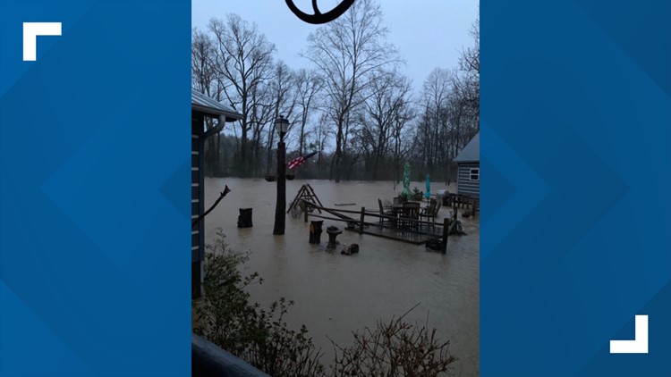
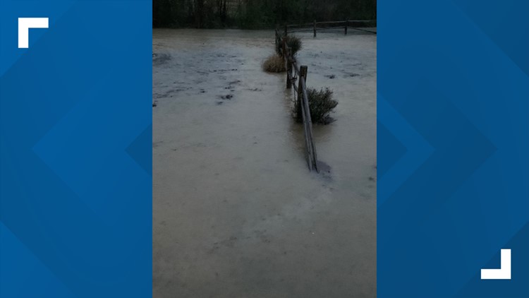
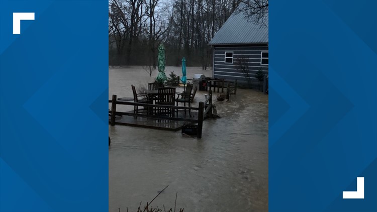
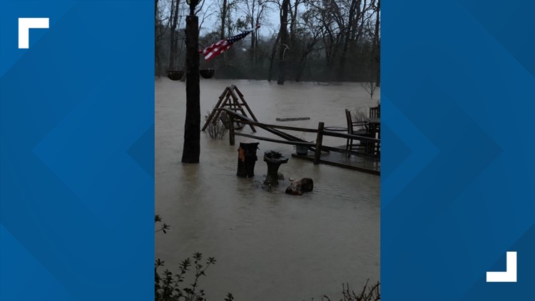
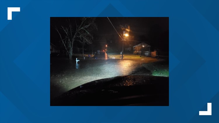
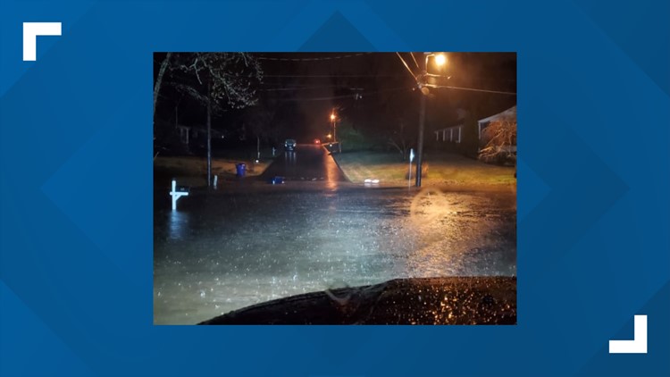
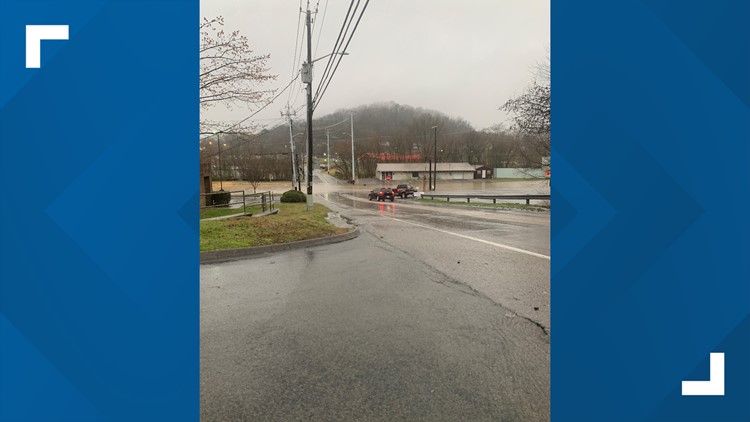
An active weather pattern is bringing elevated rain and storm chances to the forecast and causing flooding in some areas Thursday.
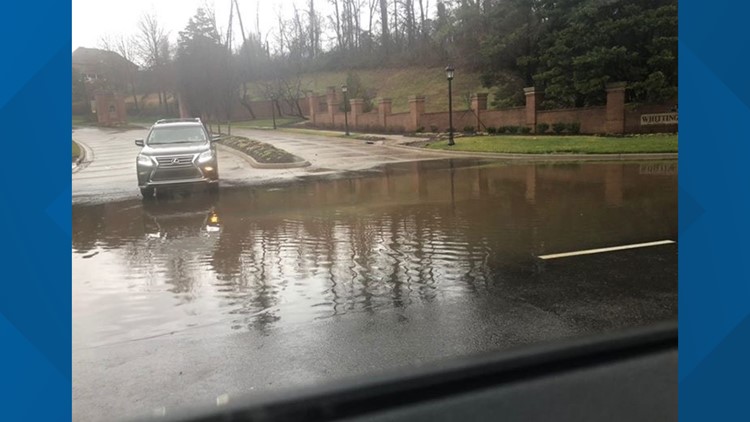
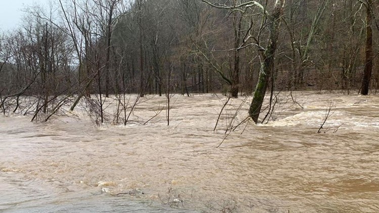
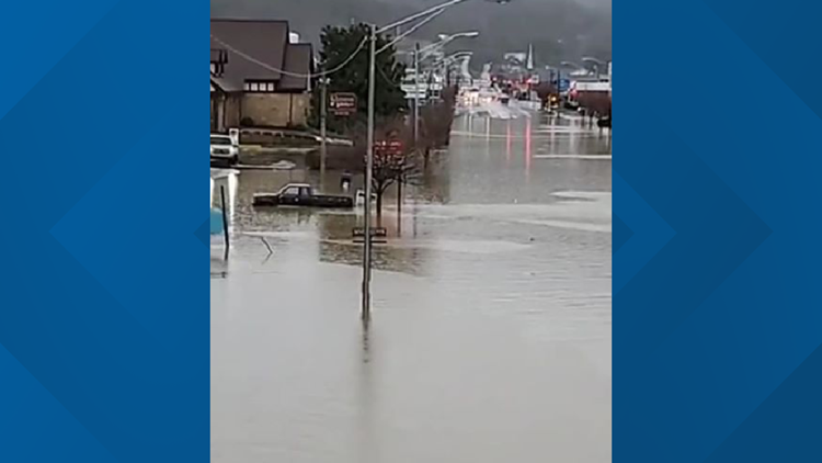
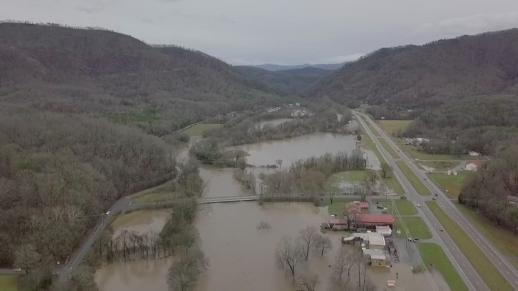
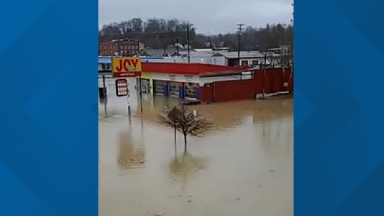
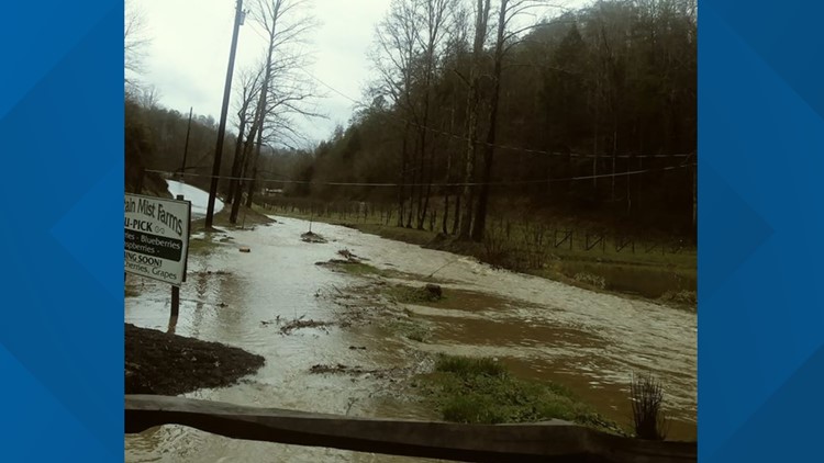
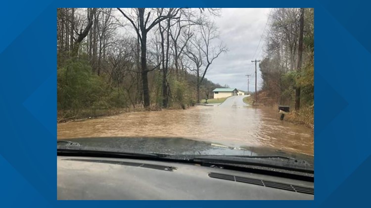
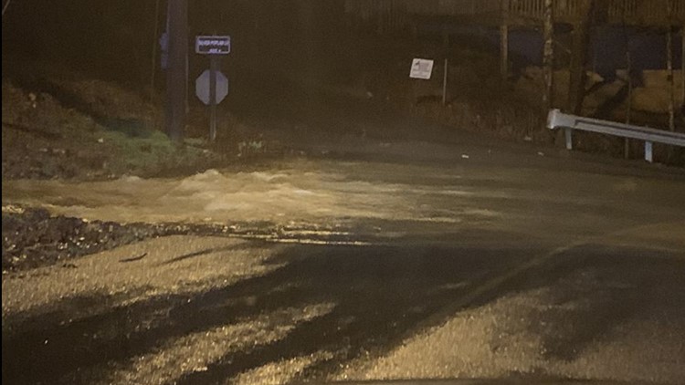
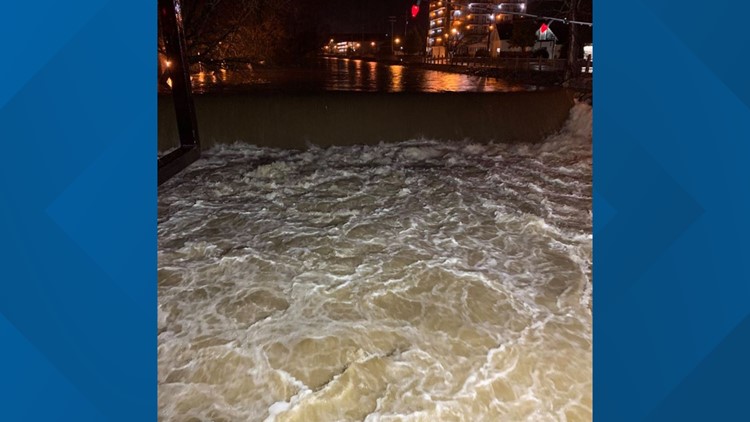
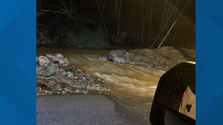
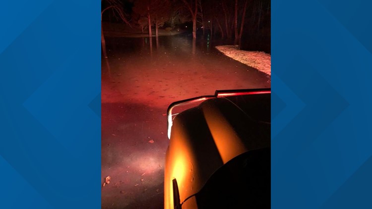
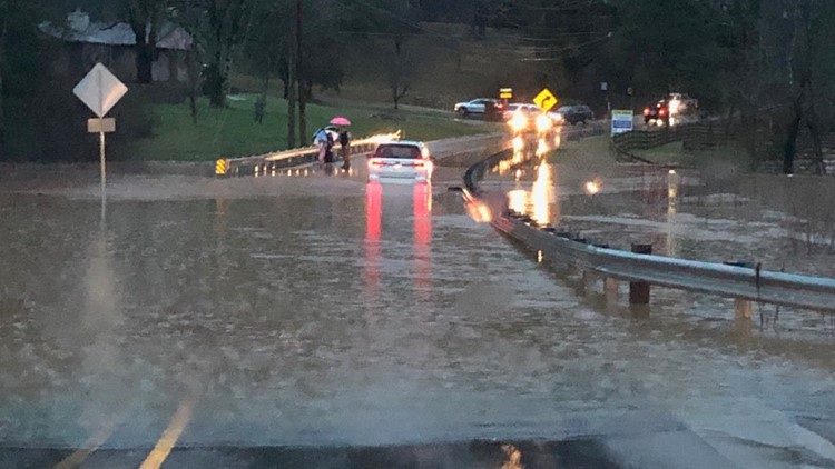
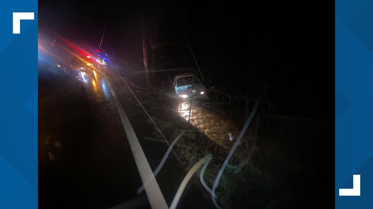
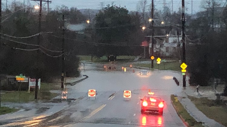
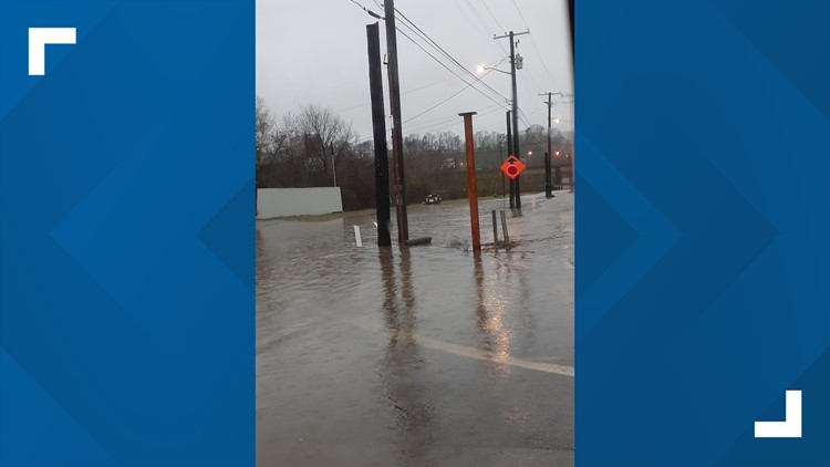
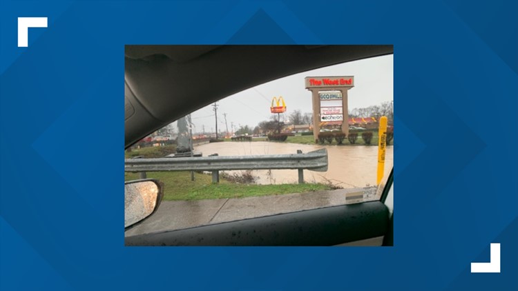
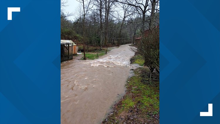
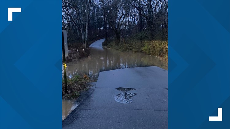
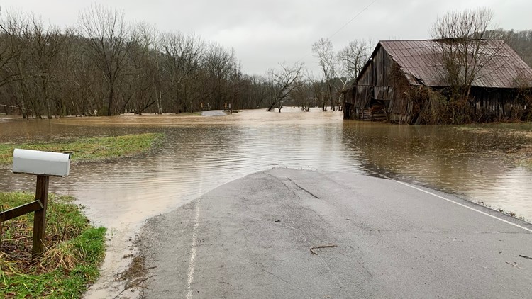
Law enforcement has reported numerous roads closed, particularly on back roads and those near creeks, due to flooding.
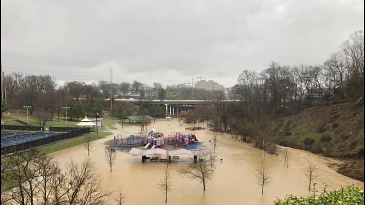
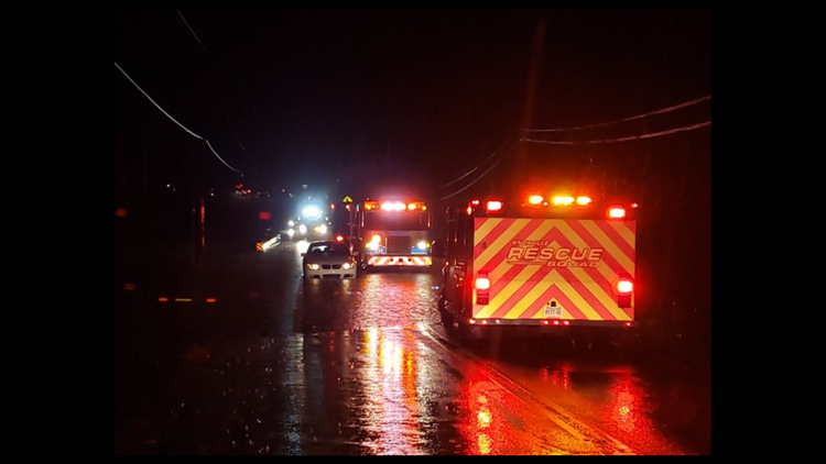
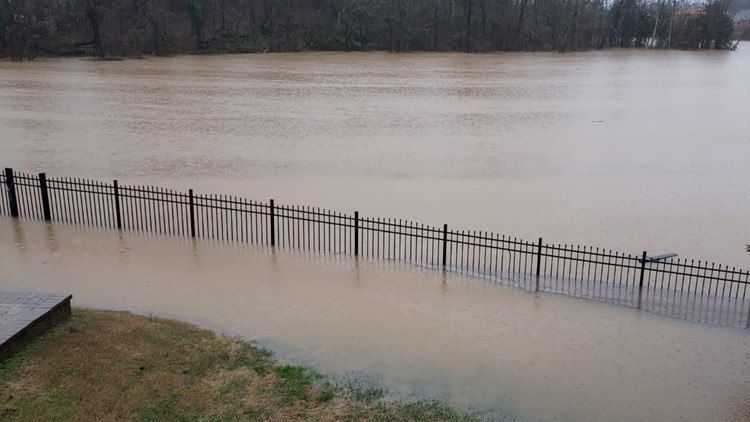
The line of heavy rain brought some strong storms packing powerful winds along with it Wednesday night. The primary concern with this system is the heavy rains -- as localized flooding and ponding is being reported across the area, and more rain is expected through Thursday evening.
If you come across any flooded or water-covered roads: Do not drive across them and find an alternate route. Remember "Turn around, don't drown."
Heavy rain Wednesday and Thursday, Feb. 5 - 6, causes flooding in parts of East Tennessee
School Closures
Most schools in East Tennessee are either closed or on a 2-hour delay Thursday because of flooding concerns -- including Anderson, Blount and Sevier counties. Knox County students went to school this morning but closed just a few hours later. Knox Co. schools will also be closed on Friday. You can find the latest list at the link below.
We've also listed other government agencies there that are closed.
Road Flooding Conditions
Several East Tennessee counties are reporting flooded roads and dangerous travel conditions Thursday morning. Authorities are asking people to use extreme caution when driving -- and in some cases are asking people to stay off the road until the rain passes.
Potential Flooding Forecast
A trough of low pressure to the west and a ridge of high pressure to the east have put East Tennessee in a position for a soggy week.
Moisture from the Gulf of Mexico will be pulled into the Southeast thanks to a series of weather systems.
We could receive 2"- 4" of rain (or more) by the end of the day on Thursday.

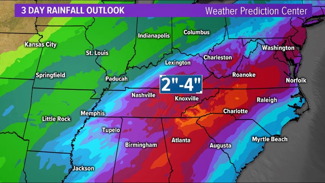
Flood and Flash Flood Watches are in effect for all of East Tennessee and Southeast Kentucky through Friday morning at 1 a.m.

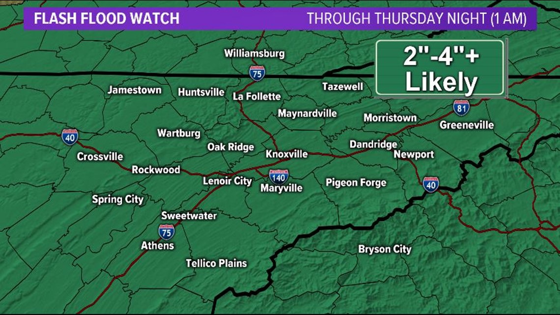
Periods of heavy rain could cause localized flooding of low-lying and poor drainage areas.
Thunderstorms will also be possible on Wednesday and Thursday and a few may be strong enough to produce damaging winds, mainly in areas along and south of I-40.
The other concern with thunderstorms is that they can enhance rainfall rates, increasing the potential for flooding.

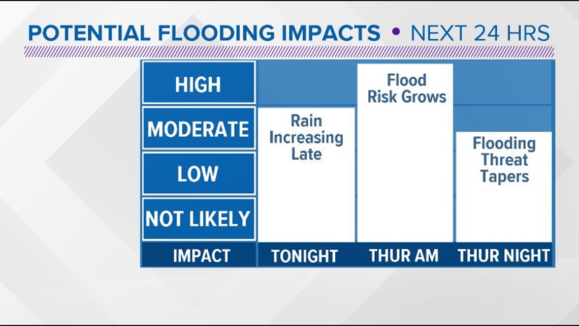

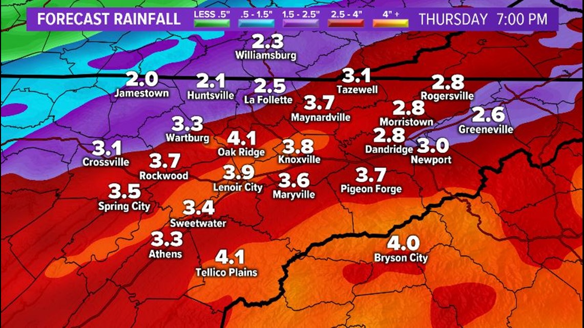
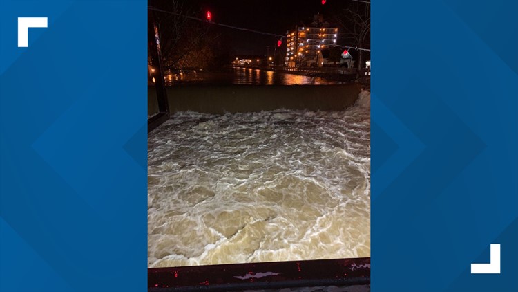
Lakes, rivers, creeks and streams may rise quickly this week so pay attention to water levels.
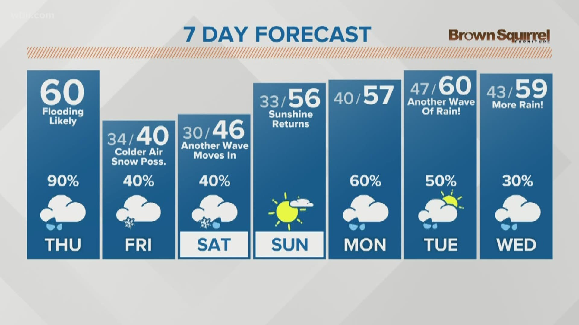
The rain should start to taper off by 7 p.m. Thursday, but the flood risk could continue into the weekend.
The Tennessee Valley Authority (TVA) is encouraging folks who live along the shoreline and dock owners to be prepared for changes in lake levels.
While you will definitely need your raincoats throughout the day on Thursday, make sure to switch back to your winter coat for Friday. The temperatures will start to drop Thursday night and highs will be in the 30s and 40s on Friday. Folks in the mountains and on the plateau could see some light snow showers, though the ground temperatures are warm enough that it won't be much of an impact.
Check back for updates to the forecast!

