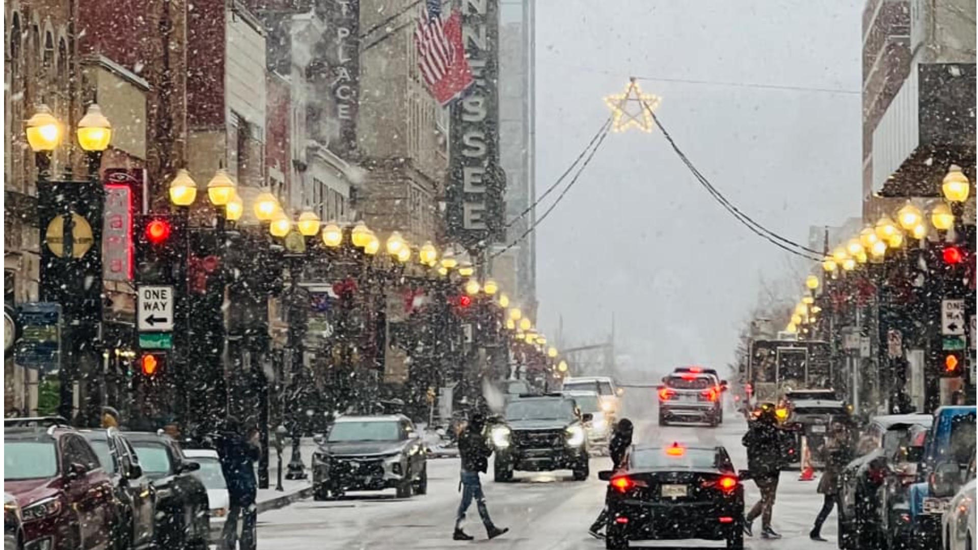
KNOXVILLE, Tenn. — The snow came quickly, and unexpectedly, for Jeff Headrick — the Blount County Highway Superintendent.
"We were looking forward to everybody staying home, still enjoying the holidays," Headrick said.
He said he expected light flurries, without travel impacts. Then, the snow started to fall, quickly, and it stuck to the pavement.
"It was all hands on deck," Headrick said. "We had to bring everybody in."
Throughout East Tennessee, roads were snow-covered including I-40 and I-75, as crews worked to clear the roads through the night.
"We had our crews on the job and on their routes yesterday afternoon treating our interstates and our state routes," said Mark Nagi, a spokesperson with the Tennessee Department of Transportation.
However, Nagi said TDOT deployed fewer crews during this snow event than the previous one during the previous week.
"Part of that was staffing the holidays, but we still had our crews all on their routes," Nagi said.
WBIR Meteorologist Mike Witcher said he and other forecasters in East Tennessee called the snow correctly, but didn't expect as much snow or the impacts we saw in the region.
"I'm frustrated as a meteorologist," Witcher said. "I don't feel like I prepared the public enough."
Witcher said forecasting weather is not an exact science, and there's a human element to predicting the future.
"The human element that I missed yesterday was the fact that the ground was cold," Witcher said. "I knew that every single snowflake that fell was going to stick to the ground."
He said another factor was the saturation in the dendritic growth zone. When clouds form in that part of the sky, it's the best place to produce snowflakes.
"The storm overperformed. Plain and simple," Witcher said.

