
Viewers have seen a dusting of snow in higher elevations across East Tennessee Sunday.
The National Weather Service in Morristown said Sunday's temperatures are 20 degrees below normal for this time of year. A Freeze Warning has been issued Sunday evening for most counties in the region.
Max Patch near the board of Tennessee and North Carolina received three and a half inches of snowfall.
The Great Smoky Mountains National Park received a dusting in most areas.
Sheila Lyons Trock posted a photo of light snow falling at Bald River Falls.
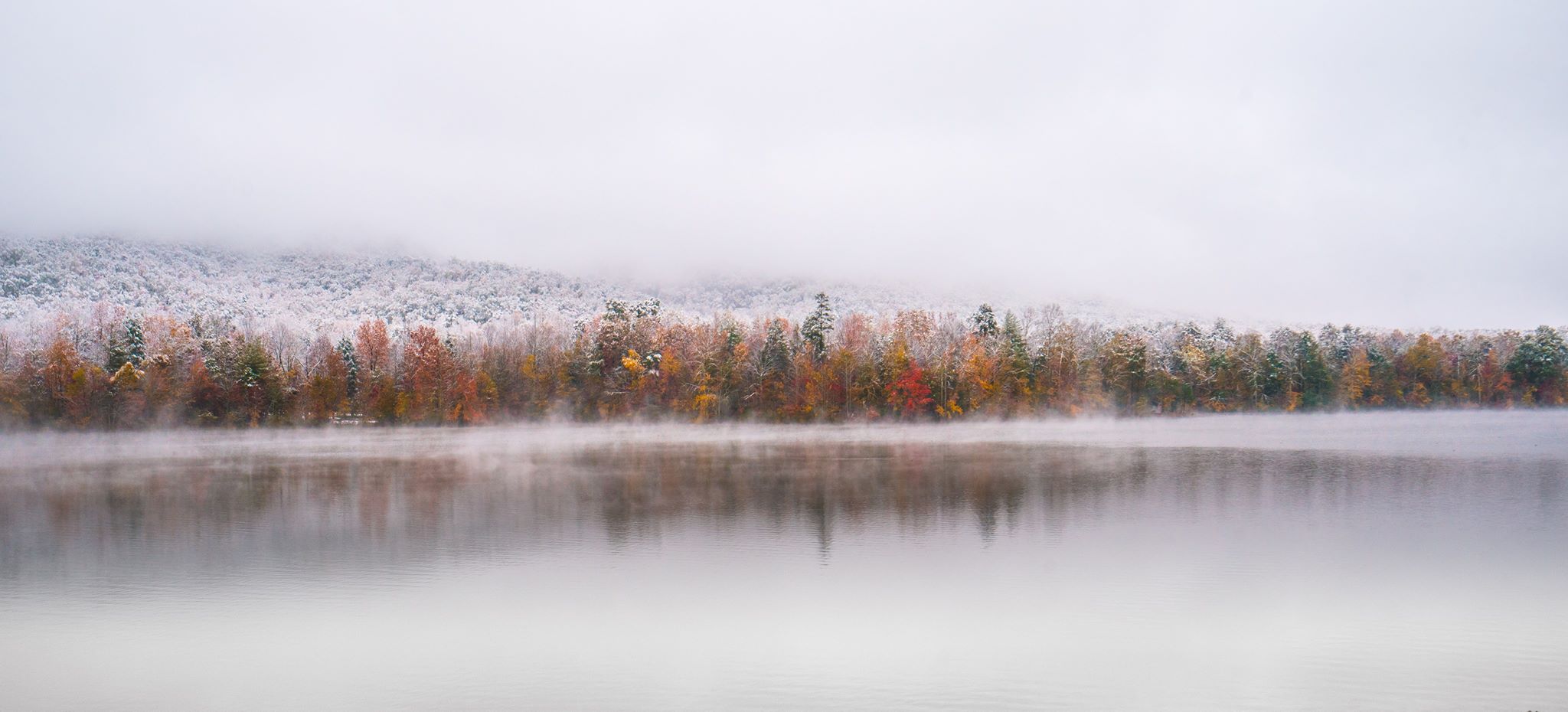
Mason Scott Boring was also visited in the Indian Boundary Lake Recreation Area and took this beautiful snapshot.
Mark Ingles was visiting the Wears Valley area Sunday afternoon and shared a photo on 10News' Facebook wall.
Gary Heatherly shared a photo to the WBIR Weather Facebook page with light snow scattered across the trees near Foothills Parkway.
Michael Jenkins shared one of their photos with the 10News Weather Team of another gorgeous winter wonderland view of Indian Boundary near Tellico Plains.
Mount LeConte received more than two inches of snow Sunday. The LeConte Lodge Facebook page shared photos of the gorgeous scene earlier this afternoon.
As you all see snowfall in the area, you can share your snow photos with us through Facebook, email and through the hashtag #snoWBIR.