Our high temperature on Tuesday was a record-breaking 97 degrees, which is 13 degrees above average for this time of year.
The previous daily record high temperature for September 10 was 96 degrees set in 1939 and 1925.
We don't often reach 97 degrees during the month of September. In fact, we've only been this warm this late in the year 5 other times since records began in 1871.
If you are thinking that it seems like we've had quite a few warm Septembers recently, you are correct. Last year was the 7th warmest and 2016 was the 6th warmest September on record.
So where do we go from here?
A strong ridge of high pressure is currently in place across the eastern United States.
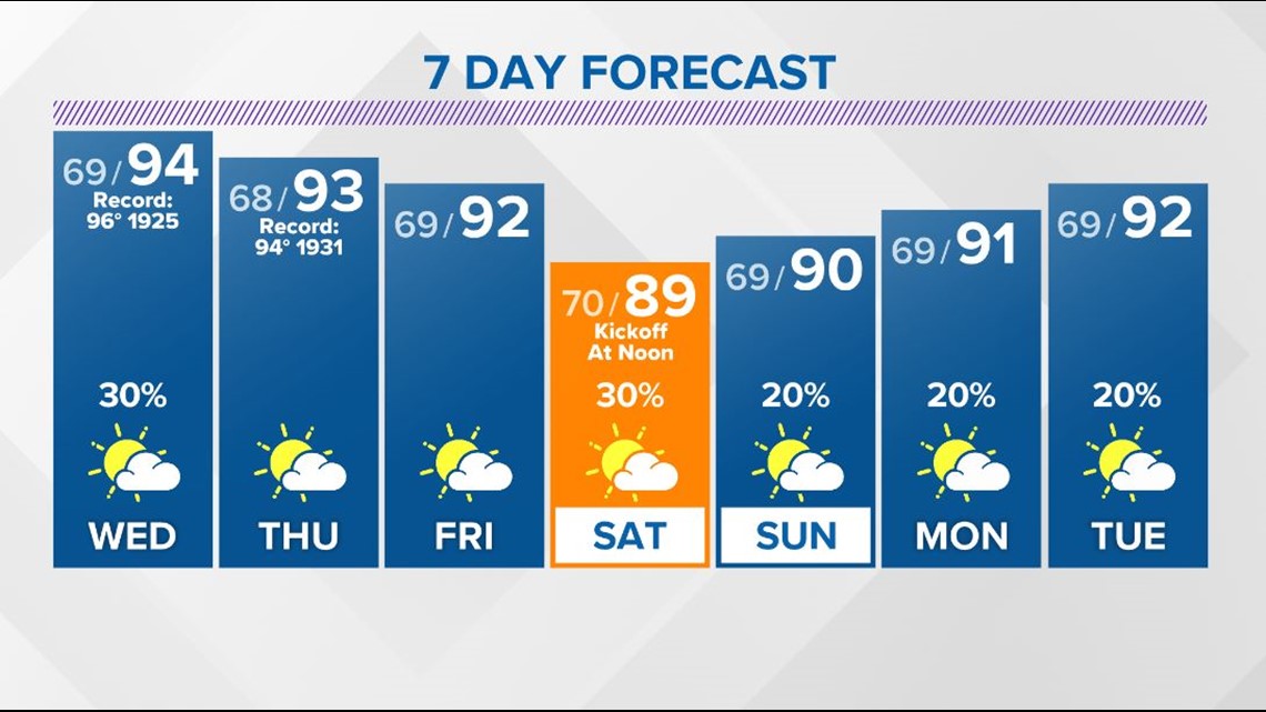
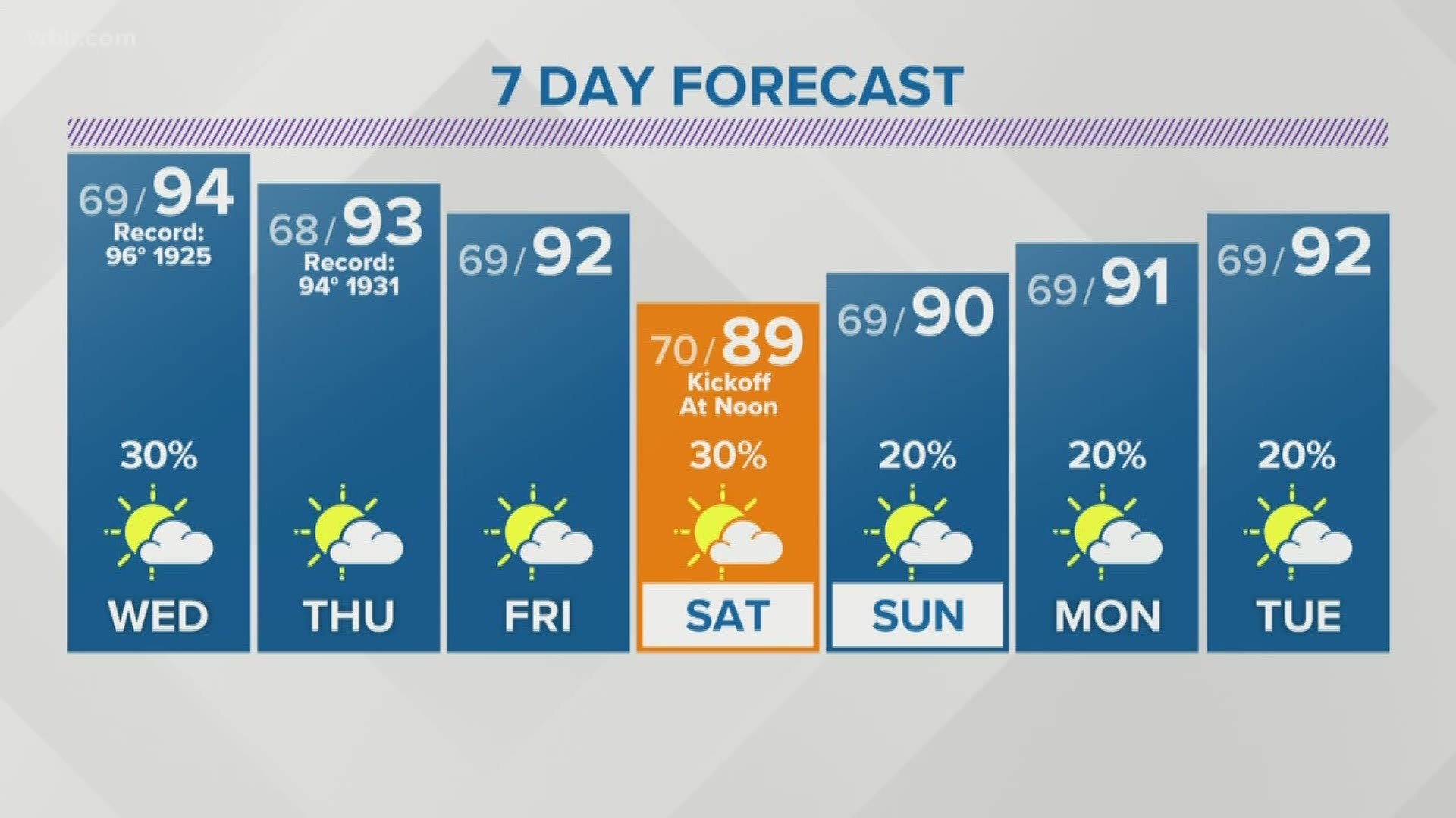
The combination of the sinking air (subsidence) beneath the ridge and the very dry soil will continue to keep our temperatures in the 90s through at least the weekend and possibly into early next week.
The record highs that are now in jeopardy this week for Knoxville are:
96 degrees (1925) on September 11th
94 degrees (1931) on September 12th
97 degrees (1998) on September 13th
Rain chances will remain slim with just spotty afternoon showers and storms possible each day.


