KNOXVILLE, Tenn. — As we get later in Tuesday night, temperatures are going to drop and icy conditions will become likely for parts of the Cumberland and Northern plateau.
Because of the inclement conditions that could roll over into Wednesday, multiple counties have delayed or canceled schools for Feb. 1, including Cumberland, Claiborne and Campbell counties. You can check the latest school closings by clicking here.
Here's what you need to know:
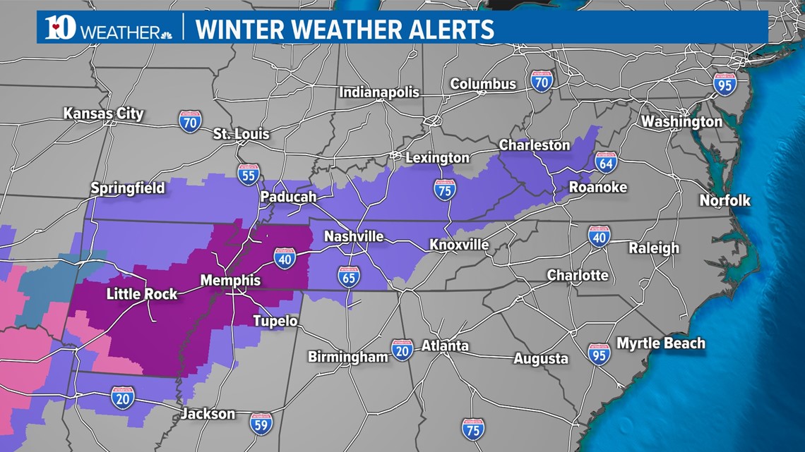
Tennessee and Kentucky, along with many other states in the South and Southern Plains, are seeing icy conditions. However, East Tennessee and Southeastern Kentucky will get it a lot lighter compared to the full ice storms occurring in states like Texas. If you're traveling west: be aware and careful of these growing hazardous conditions.

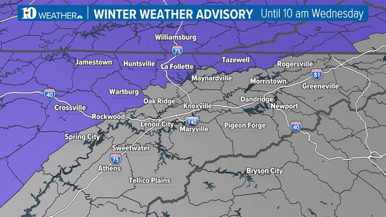
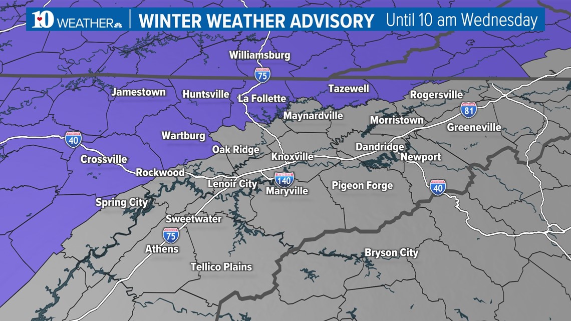
Here in East Tennessee, counties in the Plateau including Cumberland, Fentress, Morgan, Scott, Campbell, Claiborne and Hancock counties, have a Winter Weather Advisory in effect until 10 a.m. Wednesday. A wintry mix, mainly made of freezing rain, will come down overnight. Snow totals could get up to 1 inch and ice could accumulate up to 0.10 inches. Not a lot will come down, but the icy conditions are more than enough to make travel plans dangerous.


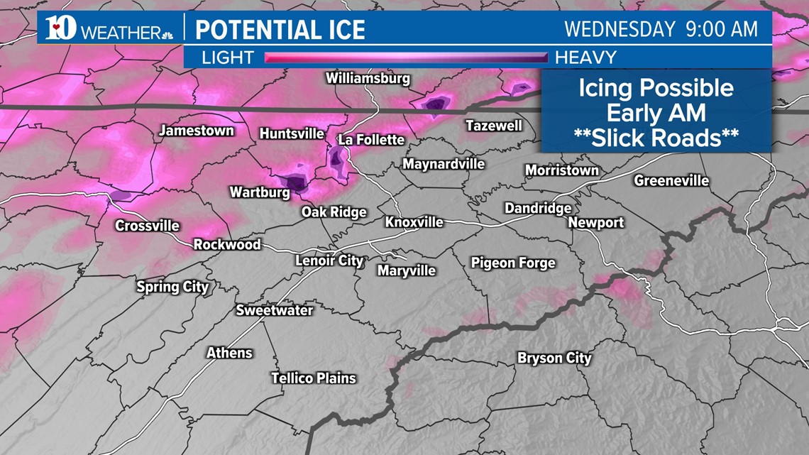
Rainfall will reenter East Tennessee around 8 p.m., and as temperatures drop toward freezing, icefall will become possible as soon as 9 p.m. in the upper elevations. The ice will continue overnight until the early hours of Wednesday morning as the entire system fades and shifts southward.
You might wake up to leftover showers and flurries, but by Wednesday morning, the main concern in the northern plateau will be treacherous travel conditions like black ice and otherwise slick roads.

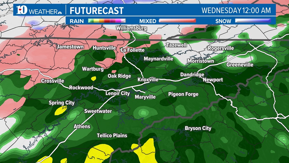
Precipitation will be wrapping up in the morning, then Wednesday afternoon will be cloudy and free of any rain or icefall.
Here's your futurecast for a fuller picture:

