
ASHEVILLE, N.C. — Western North Carolina officials are telling people to prepare for the worst as Hurricane Helene prepares to make landfall in Florida.
As of 6:30 p.m. on Thursday, Helene strengthened into a Category 4 hurricane just south of the Florida panhandle. It's expected to make landfall late Thursday night near Tallahassee before continuing north through Georgia and up into Tennessee overnight into Friday afternoon.
The storm has a lot of power and is expected to bring damaging winds and catastrophic flooding along its projected path to Tennessee, including in Western North Carolina where a state of emergency has been declared.
The National Weather Service in Greer, South Carolina, said the impacts to the Appalachian and Asheville regions could be comparable to the 1916 flood that devastated Asheville and killed 80 people. Meteorologist Diana Thomas with NC Emergency Management said people in the western side of the state along the Appalachian Mountains should brace for severe flooding, landslides, and hurricane-force winds.
"The impacts from Hurricane Helene to western North Carolina will be some of the most significant weather events to happen in the modern era per the National Weather Service," Thomas said. "The impacts are expected to be greater than Fred in 2021. You must take weather warnings seriously and have a plan of action in place to protect you and your family. Heed all evacuation orders from your local emergency managers."
People living along the French Broad and Swannanoa Rivers, in particular, are being warned about the danger and are being asked to self-evacuate before the worst flooding arrives overnight into Friday. Both rivers are rising due to the heavy rain from Helene and are expected to rise to record levels above major flood stage in some spots.
Buncombe County leaders urged people living in the Fletcher and Biltmore Village area to evacuate on Thursday afternoon. As of 6:30 p.m. Thursday, NOAA's river forecast predicted the French Broad River could peak above 30 feet in the area near Asheville Regional Airport in Fletcher. As of 6:50 p.m. Thursday, Buncombe County leaders said catastrophic flooding was imminent:
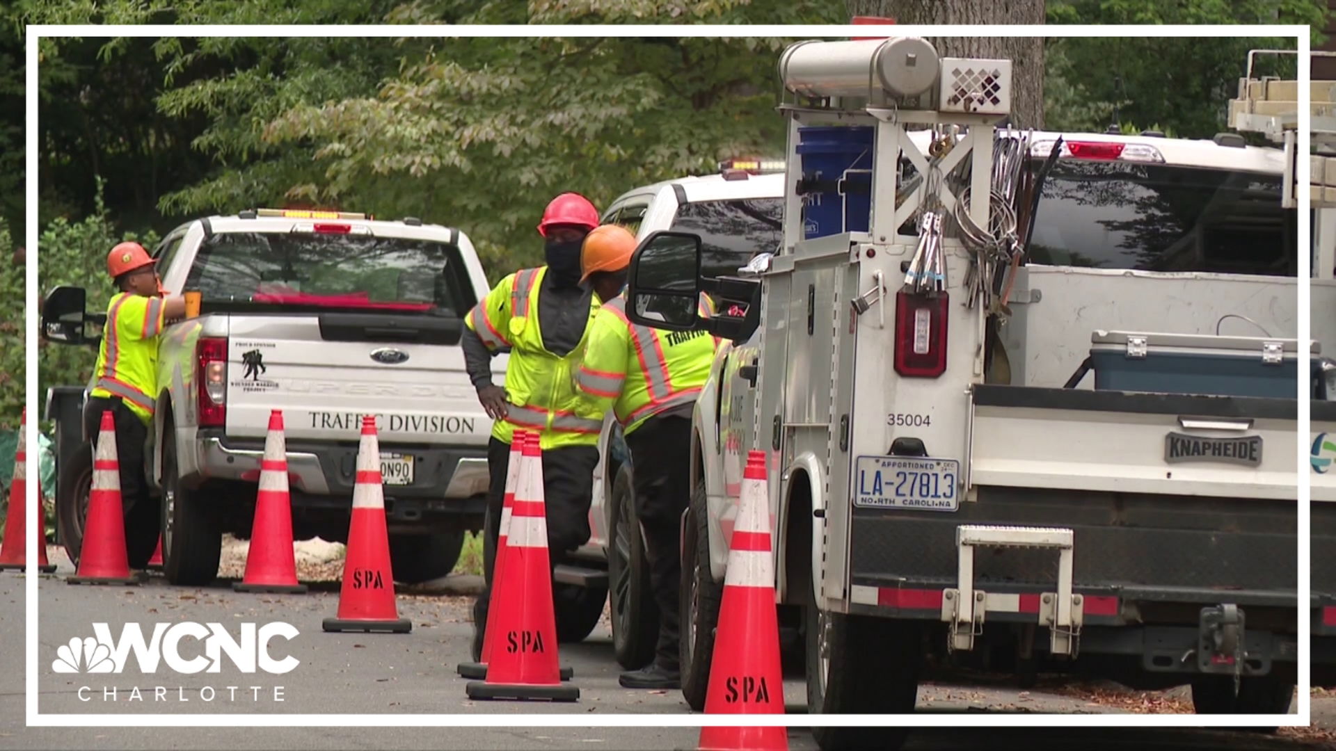
Along with catastrophic flooding, the storm is expected to cause widespread power outages in the Western NC region beginning Thursday night once the wind picks up. Gusts are forecasted to be near hurricane strength.
The NWS urged people to charge their phones and have multiple ways to receive weather warnings and alerts.
The Associated Press contributed to this report.