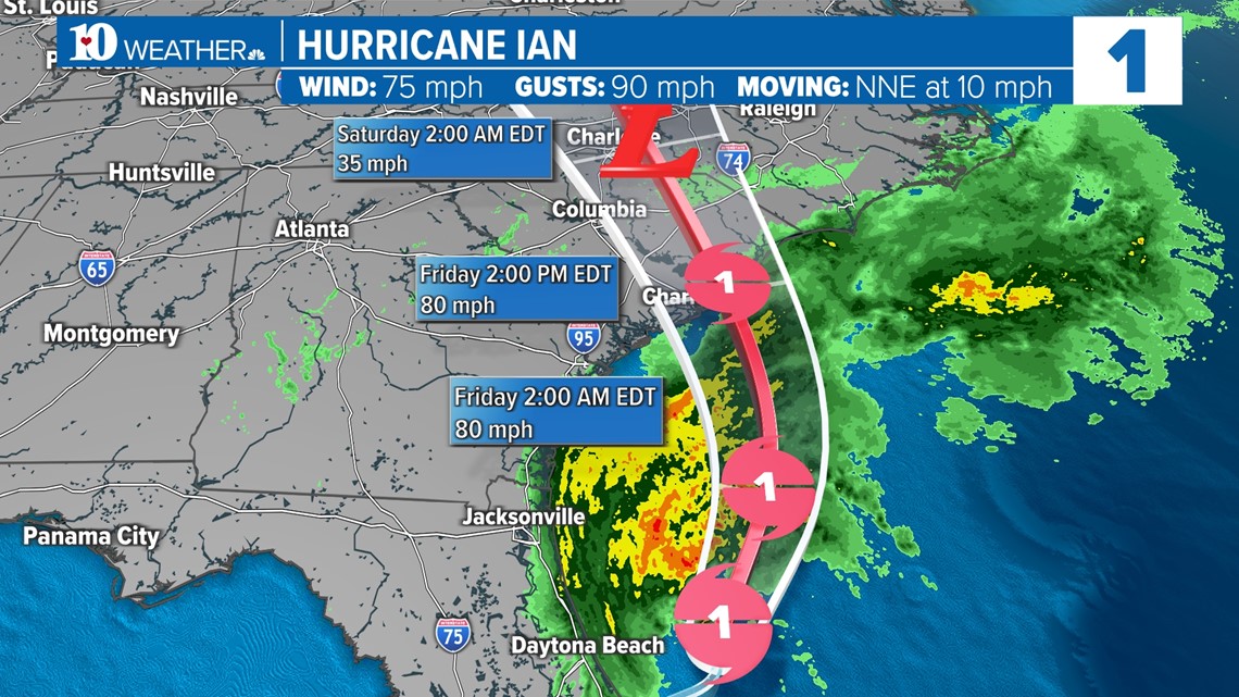
KNOXVILLE, Tenn — The Category 4 hurricane that slammed into the Florida Coast Wednesday is regaining some of its strength as it approaches the Carolinas.
Hurricane Ian made a second landfall as a Category 1 hurricane between Charleston and Myrtle Beach in South Carolina on Friday. It brought high winds, flooding and major storm surge across the state of Florida Wednesday and is doing so again once.


Survey crews in Southwest and Central Florida reported collapsed buildings, flooding, downed power lines and impassable roads. More than 2.5 million people are without power, and reports of deaths are starting to come in as crews survey the damage.
East Tennessee will have a particularly rainy weekend in store if the current path projections hold. The remnants of the hurricane could make its way into East Tennessee Friday and Saturday, bringing some moderate rain to the higher elevations along the eastern part of the viewing area.


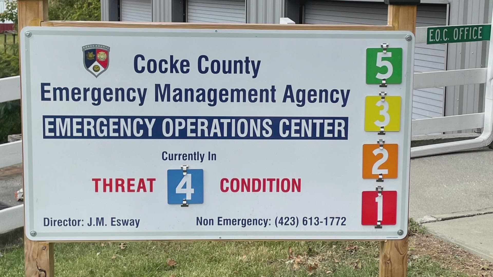
The Cocke County Emergency Management Agency said it is preparing for the potential of heavy rain and flooding, saying the county and the city of Newport met to discuss ways to help the community.
Swiftwater rescue teams were placed on standby out of caution. The Cocke County school system will also lend a hand if shelters are needed.
East Tennessee agencies are asking for people to be vigilant and plan ahead until the remnants pass.

