East Tennessee's geography makes a huge difference in our weather, particularly in the winter months.
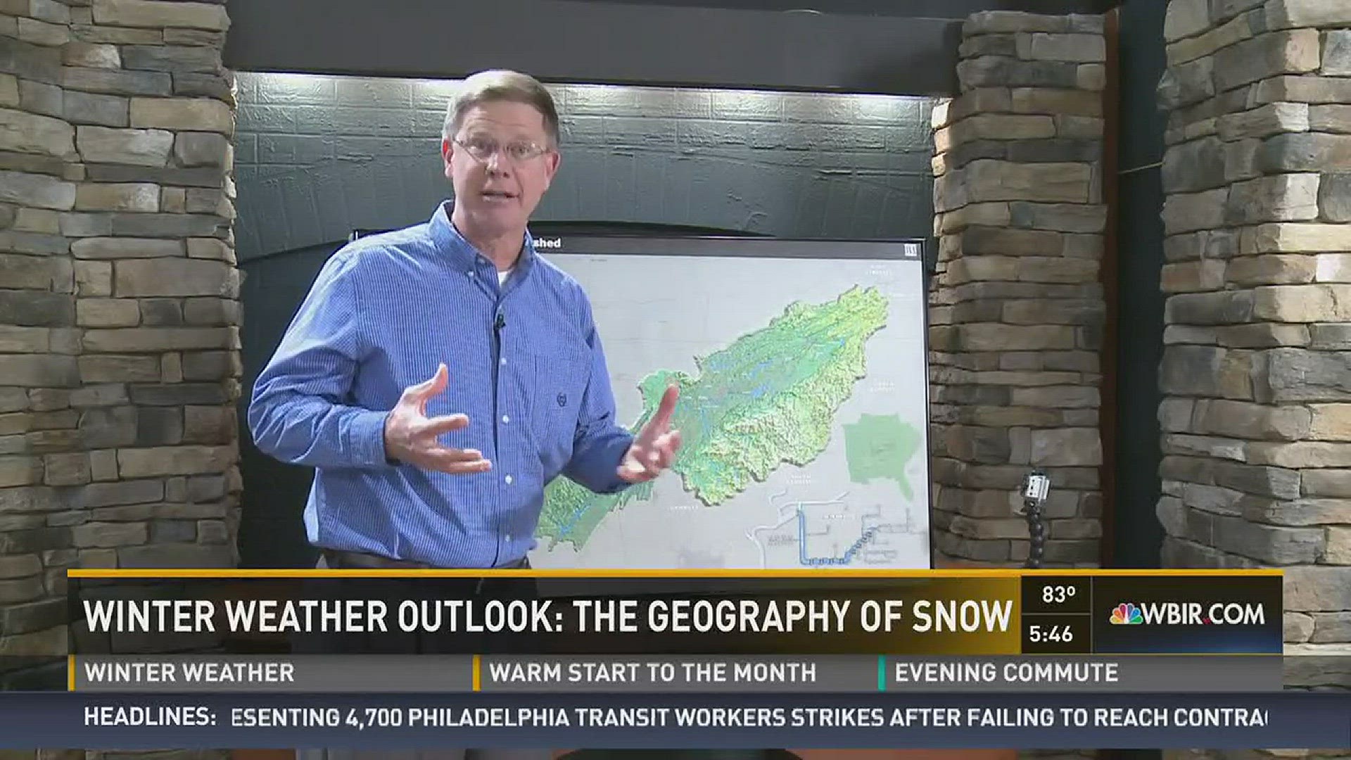
In the video attached, WBIR Chief Meteorologist Todd Howell uses a topography map to explain how our area's varying elevations--- from the Cumberland Plateau to the valley to the mountains, affects our weather.
The Cumberland Plateau and the Great Smoky Mountains form an elevated horseshoe shape around Knoxville and the valley areas, creating a huge difference in the type and amount of wintry precipitation that is possible.
"So as the weather tracks from west to east, you will see enhancement to the precipitation across the Cumberland Plateau. As that air descends down into the Valley, that is basically a little bit more of a drying, warming effect as that air comes off the Cumberland Plateau," explains Todd. "So that's why the valley areas will see less precipitation in general."
Then another change occurs when the weather system hits the mountains.
"That air rises, we call that orographic uplift, that air is going to condense, moisturize if you will, that moisture is going to be condensed out and you will have more precipitation over higher elevations like the Plateau and the Mountains. So, we kind of call this a "horseshoe effect" from the Plateau up into Kentucky, Virginia, wrapping back around the Mountains, wrapping around the Great Valley."
That typically means people living in the valley will typically see less snow, freezing rain, sleet and ice than those on the plateau or in the mountains.
"That's called the horseshoe effect," says Todd.
So what does it take for the valley to see a big snow? The storm system has to move up from the south, tracking up through the valley. If there's cold air already in place, the two will meet and the snow will fall.
This story is part of our Winter Weather Week of coverage. You can see Chief Meteorologist Todd Howell’s Winter Weather Forecast on Wednesday at 6 p.m.


