KNOXVILLE, Tenn. — Flurries began falling in Knoxville and other parts of East Tennessee Friday morning as cold temperatures settled into the area.
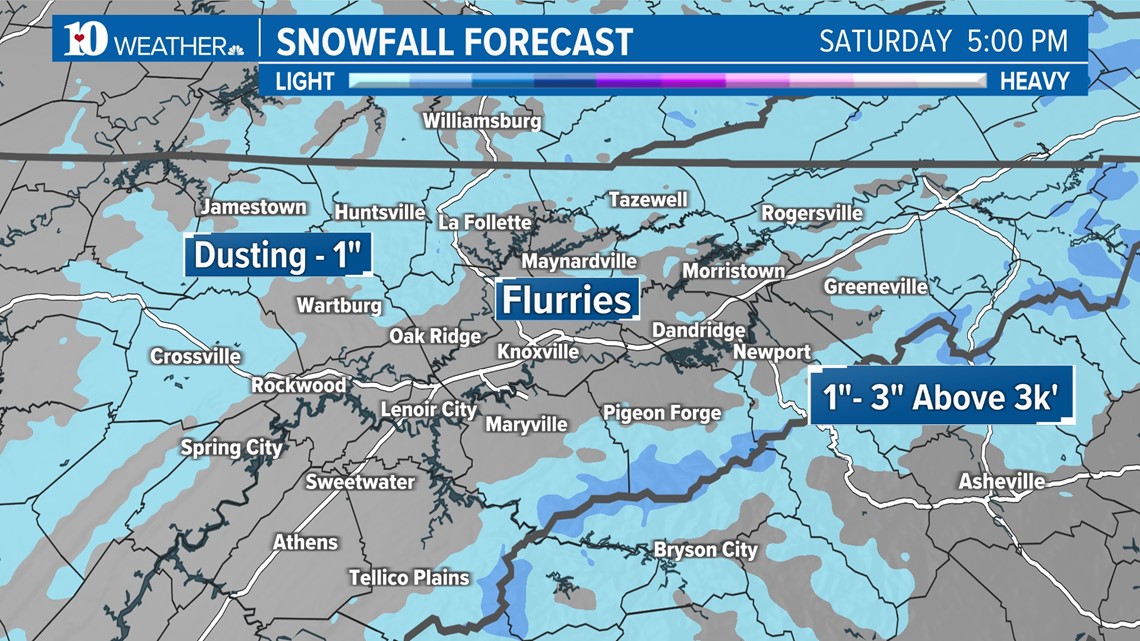
Most of the area in the lower elevations of the East Tennessee Valley can expect flurries off and on Friday night into Saturday morning with the chance for rain drops mixing with the snowflakes. These tiny flakes aren't expected to accumulate or impact roads, so people in the Valley can enjoy the pretty snow show!
The upper elevations in the outer "horseshoe" of East Tennessee along the plateau, foothills and lower elevations of the mountains may see a dusting or light accumulation up to an inch by Saturday morning.
Spotty snowfall should begin to ramp up in the higher elevations as we enter Friday night. A Winter Weather Advisory is in effect for the Cumberland Plateau in Cumberland and Fentress counties beginning at 6 p.m. CST Friday until 6 a.m. CST Saturday. While we're anticipating a dusting to maybe an inch based on current models, the National Weather Service in Nashville said those counties could see 1 to maybe 2 inches of snow in the higher elevations and should plan on slippery road conditions.
The upper elevations of the Smoky Mountains above 3,000 feet can expect the possibility of 1 to 3 inches of accumulation by midday Saturday. A Winter Weather Advisory is in effect in the mountains until 4 p.m. Saturday.
People planning to drive between Gatlinburg and Cherokee, North Carolina Friday night or Saturday will have to take the long way around via Interstate 40. Newfound Gap Road/U.S. Highway 441 in the Smokies closed at 11 a.m. Friday for snow and ice and remains closed until road conditions improve. You can find the latest road closings in the Smokies at this link.


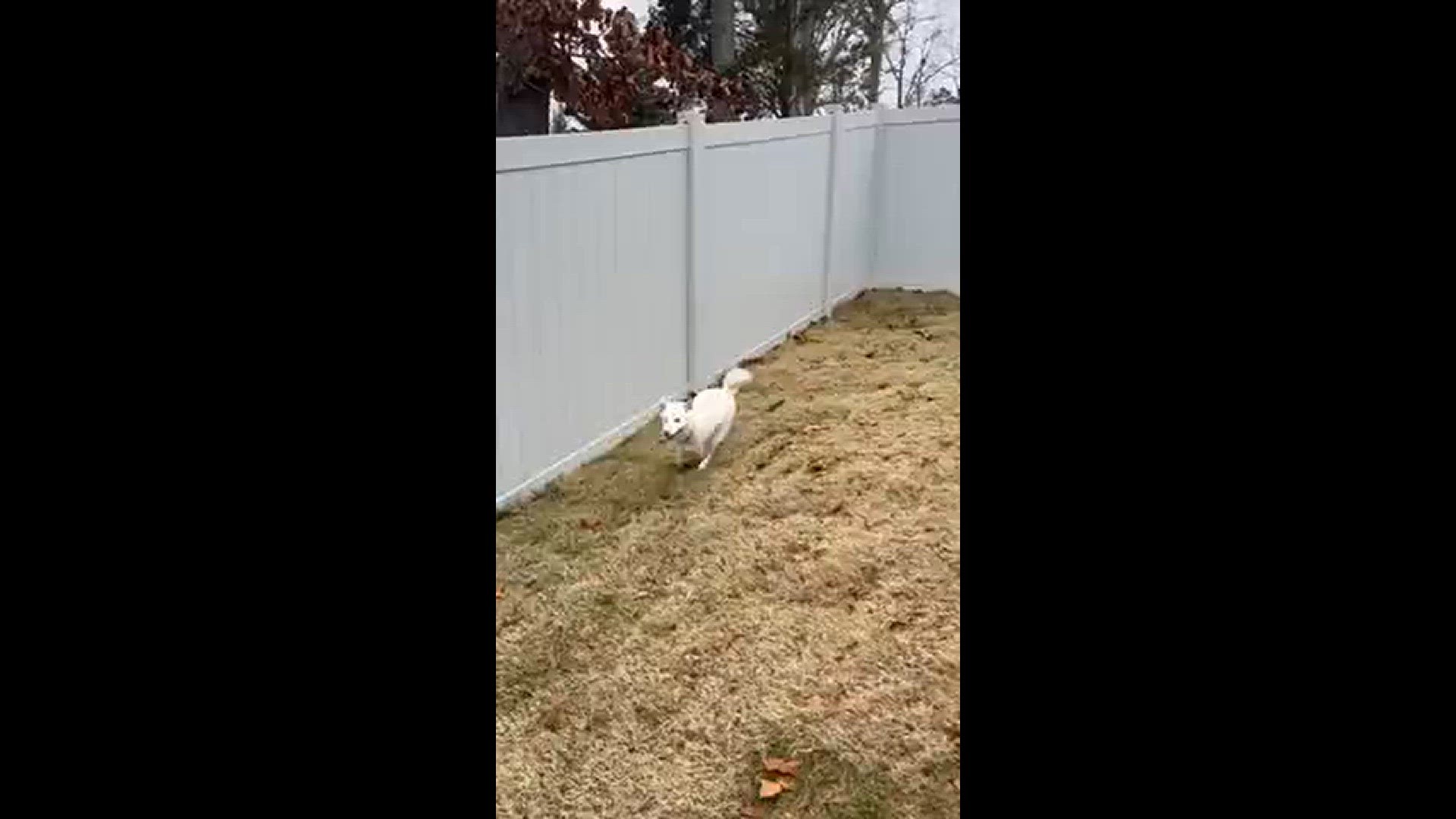
Snow flurries began falling in Knoxville, Gatlinburg and elsewhere in East Tennessee Friday morning. Check it out!


