
KNOXVILLE, Tenn. — Be sure to download the WBIR 10News App to receive winter weather alerts, live updates and school closing notifications when they happen! Click here to download.
How much snow are we seeing this year?
Let's be clear: This is an outlook, not a forecast! Forecast models are generally the most accurate within seven days, but any further than a couple of weeks and we have to break out the woolly worms and persimmon seeds (more on those later). We can't predict the future, but we can make an educated outlook based on climate models, current weather patterns and historic averages.
Here's the word Chief Meteorologist Todd Howell and the 10Weather team want people to remember this winter when talking about snow: Uncertainty.
We're not just talking about the typical East Tennessee "uncertainty" we see with wintry weather. This one's partly thanks to our old friend El Niño reappearing.
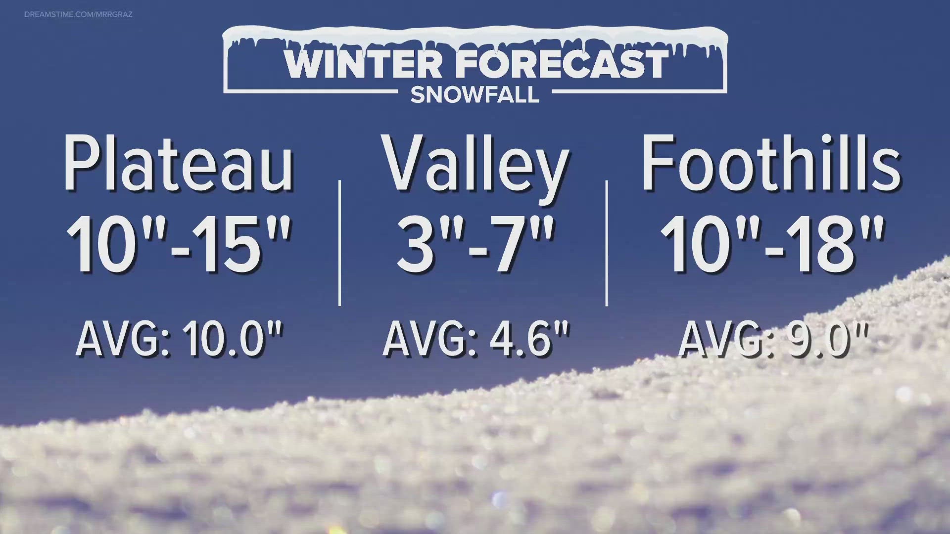
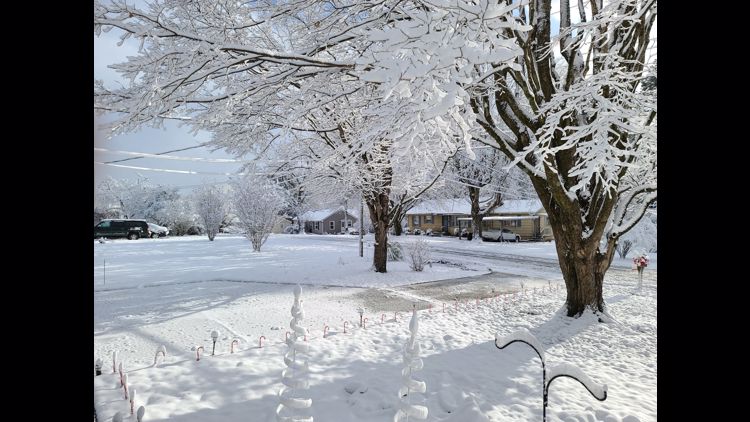
El Niño years can bring some of the snowiest winters to East Tennessee and other years it can leave us dry. Right now, we're anticipating the potential for an above-average winter for snowfall because of the extremely dry pattern that settled in earlier this fall. Below are the estimates for the different elevations, with the Valley including Knoxville and the lower elevations:

You can watch our full Winter Weather Outlook special below:
What should I know about El Niño?
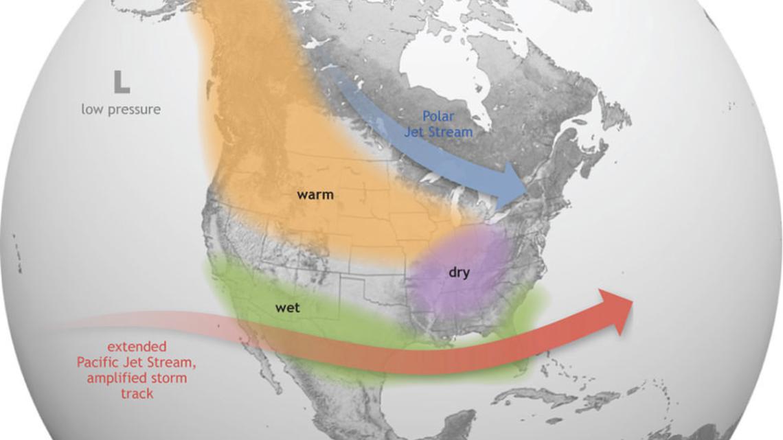
The El Niño pattern puts Tennessee and most of the U.S. beneath the Polar Jet Stream, which brings colder air down from the poles, and above the Pacific Jet Stream, which brings the wet, energized air that's been brewing in the Pacific Ocean since summer. So, that means all the gators in Florida and the far-south U.S. can reliably expect a wetter winter, while most of the northern half of the U.S. is expected to see a warmer winter.
For Tennessee, we're right in the middle of it all.
When the pattern holds steady, our temperatures usually stay close to average and we see drier weather. A stronger El Niño makes this broad pattern more predictable with the Pacific Jet Stream but also increases the likelihood of some real wintry "curveballs" from the Polar Jet Stream. National Centers for Environmental Information Director Deke Arndt once likened El Niño to a "bad bartender" who inexplicably gets your favorite order wrong on occasion.

Our position can put us in the path of a few particular pressure systems that are known to bring winter precipitation, particularly the "Alberta Clipper" and the "Southern Slider." These are the wildcards that often contribute to the uncertainty of winter here in East Tennessee when they develop.
The "Alberta Clipper" is a fast-moving low-pressure system that swoops down from Canada, bringing cold air and light precipitation to East Tennessee when we are in its path. Snow predictions in the Valley often trend toward "possible but also possibly disappointing" early and late winter with this speedy system since the line of precipitation can pass before the colder air settles in. The lower elevations can end up getting a little rain, an inch or two of snow, or a wintry mix depending on the timing.
Then there's the "Southern Slider" or "Gulf Low." This is one to watch out for when we're in the thick of winter. It's a heavy moisture system that starts in the Gulf of Mexico near Louisiana/Texas and it has the potential to dump snow on us under the right conditions if there is cold air in place before it arrives.
Todd and Cassie break down what El Niño means for East Tennessee below:
What is the Horseshoe Effect?
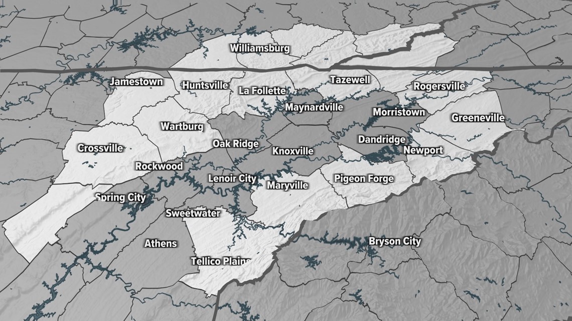
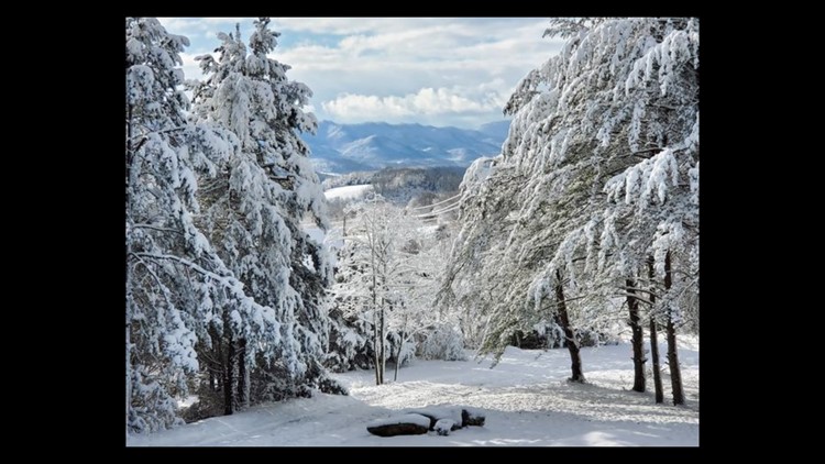
The "horseshoe" is the collection of higher-elevation geographical areas that surround the lower elevations of Knoxville and the East Tennessee Valley. When viewed on a map, the Cumberland and Northern plateaus, foothills, and Great Smoky Mountains form a shape around the lower elevations that looks like a horseshoe. The counties shaded in white below form the "horseshoe" that makes up the higher elevations:

When we talk about the "Horseshoe Effect," we want to make it clear winter forecasts can vary for the higher and lower elevations. It adds an extra layer of geographical complexity to the forecast. The higher the elevation, generally the colder the temperatures. So, those colder temperatures mean the higher elevation areas that make up the horseshoe will often (but not always) see more snow than the rest of the area.
Will there be a White Christmas?
On average, the chances for a White Christmas in Knoxville and the rest of the Valley are 3% to 4%. The chances of snow are better for the higher elevations in the horseshoe, but we still need to see the right mix of cold temps and precipitation on Christmas for that to happen.
With the uncertainty of this year's winter, chances aren't looking too good. The last time we saw a White Christmas was in 2020:
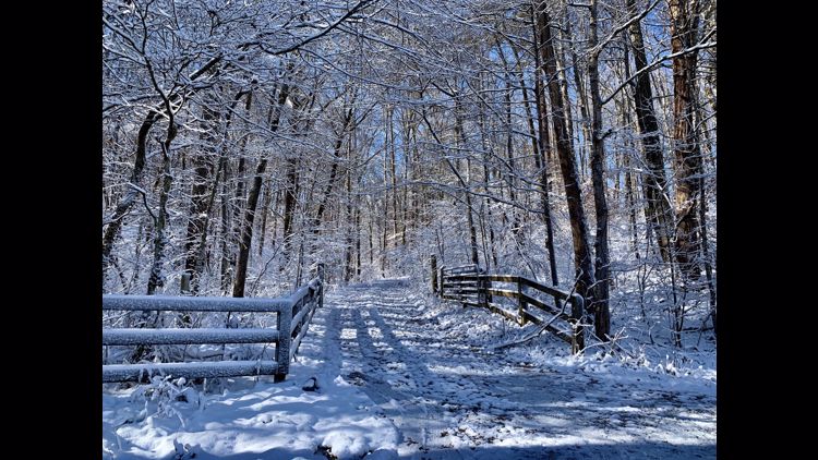
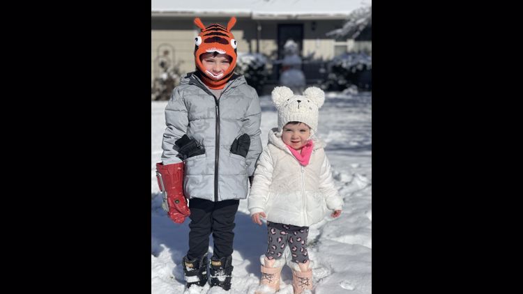
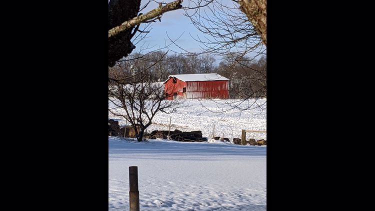
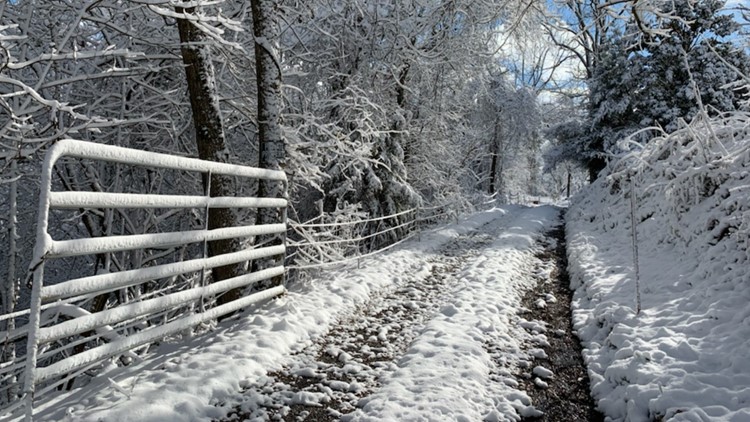
Let It Snow: A look back at your photos from East Tennessee's 2020 White Christmas


About those woolly worms and persimmon seeds...
It wouldn't be a true winter weather outlook without a little folklore!
If you are unfamiliar, Southern Appalachia loves looking to nature for signs of the winter to come. Sometimes that involves racing fuzzy caterpillars.
Each autumn, the town of Banner Elk, North Carolina, holds a Woolly Worm Festival. The highlight of the event is the Woolly Worm Race, where Woolly Bear caterpillars race for the honor of being the harbinger of the winter to come.
The winning caterpillar then takes part in the "Reading of the Worm," where woolly worm experts check its 13 stripes to announce the winter weather prediction. The more black stripes, the more weeks of colder temps. Brown stripes mean average temps, and light brown stripes mean temps are above average.

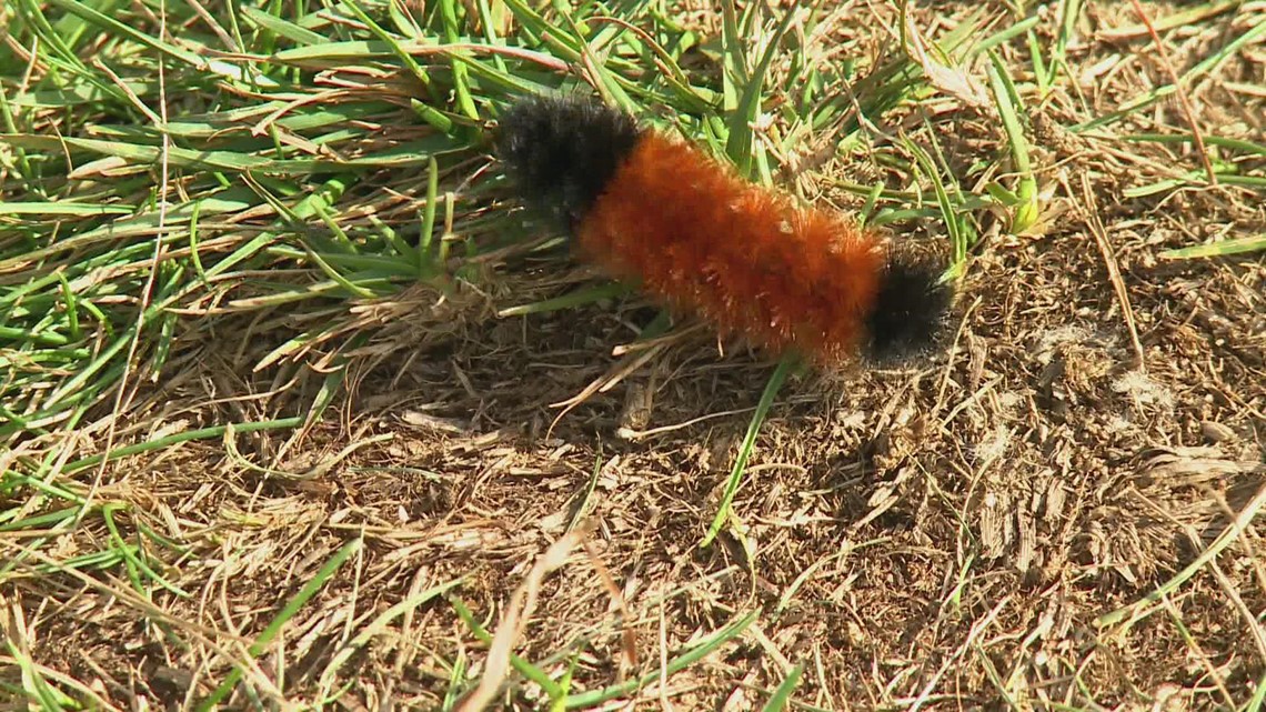
The winner this year was "Jeffery." Its prediction: A cold start, a mild middle and a harsh finish to winter.
Then there are persimmon seeds. Fort Loudoun State Historic Park and Hiwassee/Ocoee Scenic River State Park love to collect these seeds and use them in an annual folklore prediction. The seeds are cut open and "read," delivering a prediction depending on the root's shape inside.
A root that looks like a spoon means we'll be needing a shovel to "dig out" of a snowy winter. A shape like a knife means the winter chill will "cut" through us, and a shape like a fork means things will be mild.
This year, Hiwassee/Ocoee Scenic River State Park had a ton of spoons inside the seeds... so that's probably not a good sign if you hate snow.