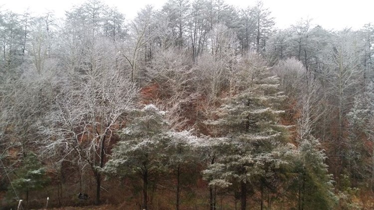
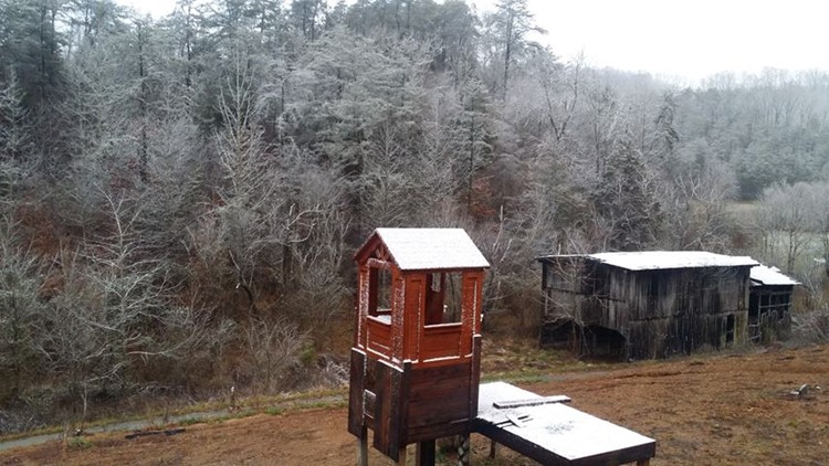
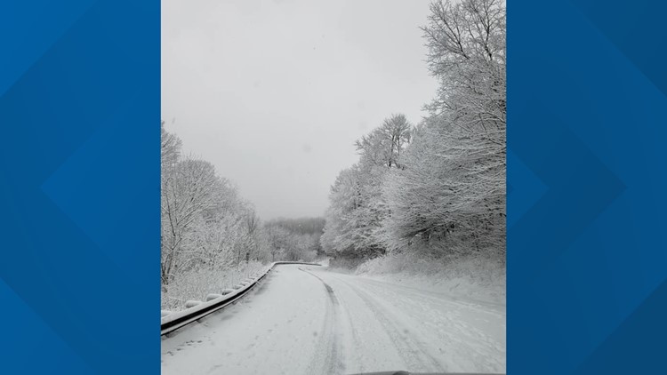
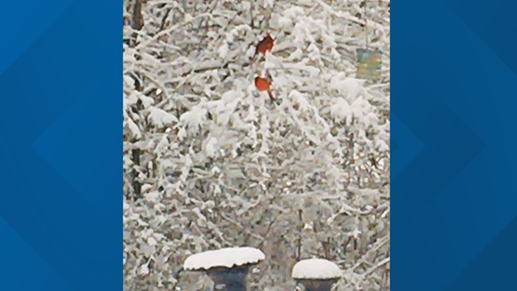
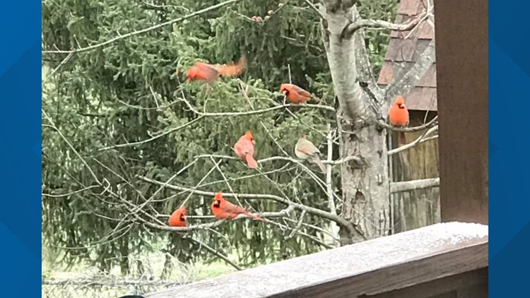
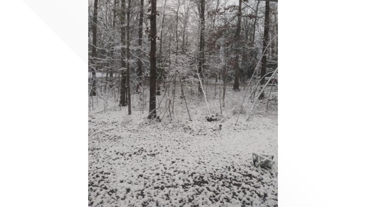
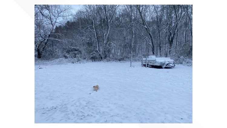
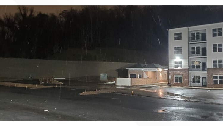
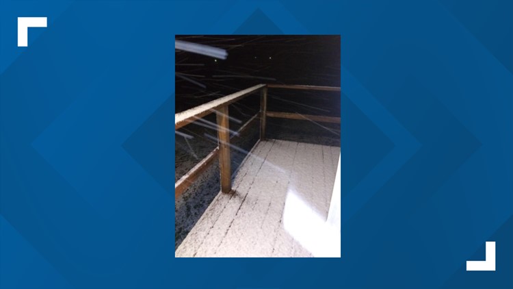
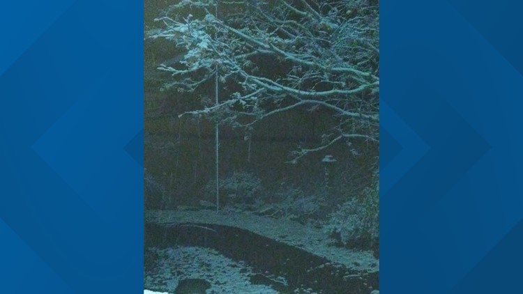
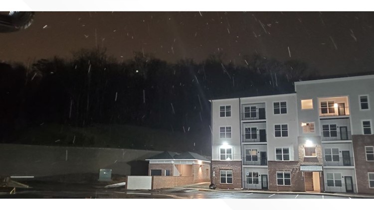
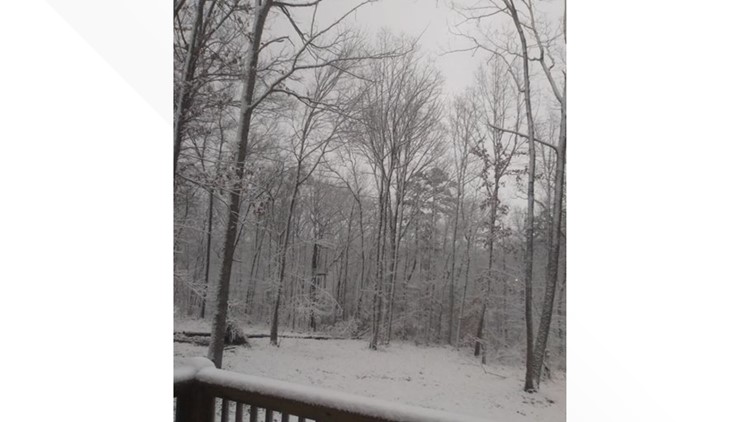
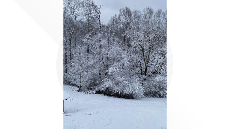
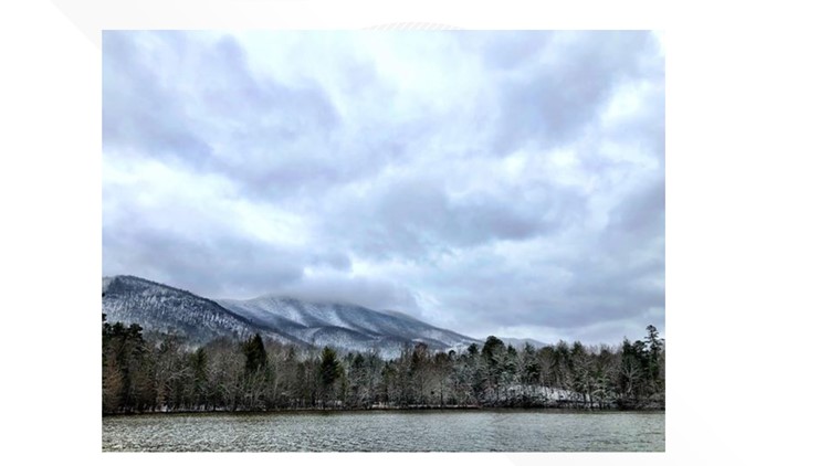
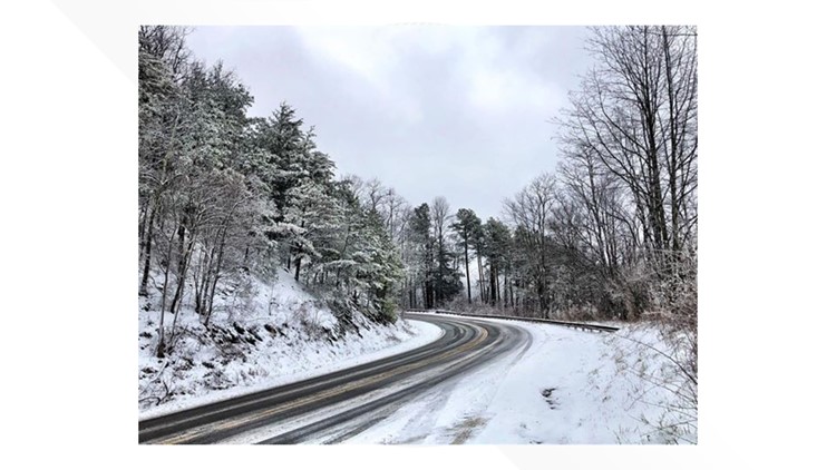
As expected, the snow started falling the Chattanooga area in the early morning hours and moved steadily to the north, coating McMinn and Monroe counties then Loudon and Blount.
Heavy, wet flakes were falling in Knoxville and surrounding areas by the late morning. With warm ground temperatures, there really wasn't a great impact on the roads other than on elevated surfaces like bridges and overpasses.
By afternoon, the snow had tapered off in Knoxville but falling steadily to the east, in Jefferson, Sevier, Cocke and more.
Original story
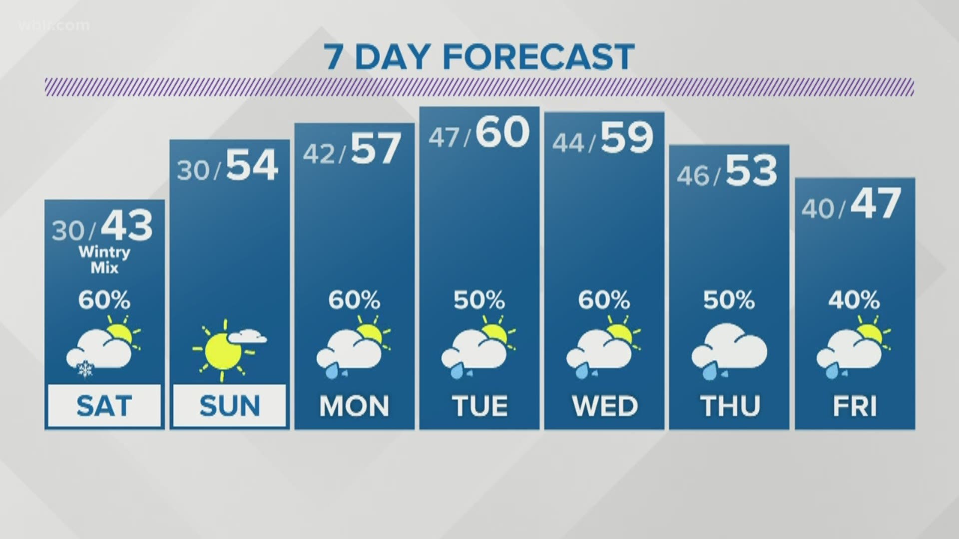
A Winter Weather Advisory will be in effect for portions of the Smokies and Southern Plateau region on Saturday with another round of snow and flurries expected to start off Saturday.
A few slushy or slick spots on roads may be possible in the upper elevations again. Impacts to travel are not expected outside of the advisory area. Minimal impacts are expected on main roads.
Snow is expect to come up into the Valley from the south starting between 8 a.m. to noon Saturday. Most areas in the lower elevations will likely only see a dusting and possibly some minor accumulation on the grass.
The upper elevations of the Great Smoky Mountains above 3,500 feet could see another 1-3 inches of snow, and portions along the Southern Plateau region and Southeast Tennessee in Cumberland, Monroe, McMinn, Meigs, Roane and Rhea counties are expected to see between a half inch to an inch of snow.

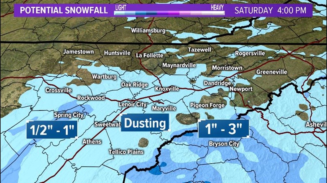
As the day goes on, the snow is expected to taper into light rain in the afternoon as temperatures slowly warm into the 40s.
Once the precipitation moves out, drier weather will greet us on Sunday with mostly sunny skies and milder temps in the mid-50s.
PHOTOS: Snow falls in East Tennessee (2/7/2020)
You can find the list of closings at the links below.

