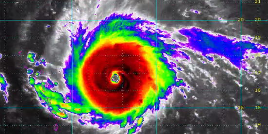
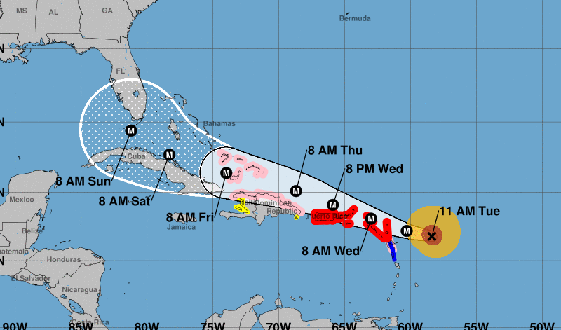
JACKSONVILLE, Fla. -- The southern half of Florida is now in the "cone of concern" for Hurricane Irma. The storm is now a powerful Category 5 hurricane with sustained winds of 180 miles per hour.
As of 11 a.m., the storm is currently located about 225 miles from Antigua, moving to the west at 14 miles per hour.
The track continues to the west. with the potential of a landfall in South Florida early Sunday.
Irma's impact on the First Coast is still unclear, but we expect weather to begin to be impacted by the storm on Sunday night into Monday. At this point ,we are expecting sustained winds of 60 miles an hour or greater for a period that could last up to a day and a half. There is also the possibility of 6-12 inches of rain and a storms surge of 2-5 feet.
The latest data shows the storm moving west but that would keep Jacksonville and the First Coast in the front right quadrant or the worst side of the storm.
Governor Rick Scott declared a state of emergency for all 67 Florida counties ahead of Irma.
"Hurricane Irma is a major and life-threatening storm and Florida must be prepared," Scott said.
Hurricane supply listhttps://t.co/j5WDUOh6zS pic.twitter.com/bVOdPYJjcx
— First Coast News (@FCN2go) September 5, 2017
The National Hurricane Center says "The chance of direct impacts from Irma later this week and this weekend is increasing in the Florida Keys and portions of the panhandle. However, it is too soon to specify the timing and magnitude of the impacts."
#Irma key messages for Advisory 26. #Hurricane preparations should be rushed to completion in the NE Caribbean. https://t.co/tW4KeGdBFb pic.twitter.com/3OSkumDsdV
— NHC Atlantic Ops (@NHC_Atlantic) September 5, 2017