
KNOXVILLE, Tenn. — Road crews are preparing for a snow storm on Tuesday that could bring a couple of inches of snow to most of East Tennessee.
The snow is expected to falling between 4 a.m. and 10 a.m., starting first on the Plateau in the west and moving east to Knoxville and the valley, then the mountains. Chances are, during the morning rush hour, heavy snow could be falling.
IS MY SCHOOL CLOSED? Check out the closings page
Obviously, the best advice is not to drive if you don't have to, particularly in the morning hours, but we know that's just not an option for some people.
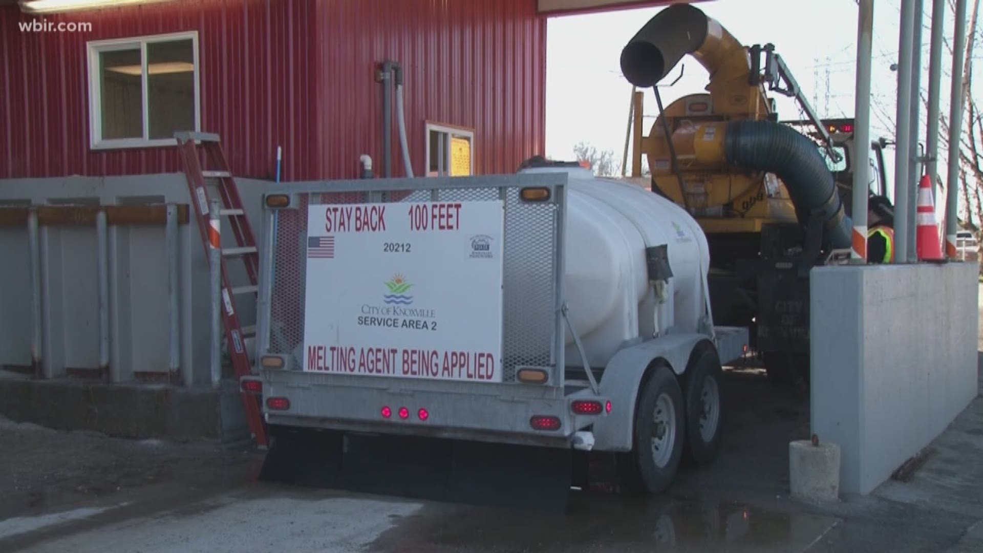
State and local crews actively pre-treated roads on Monday, when possible, with a salt/brine mixture that's designed to melt the snow on impact.
HOW DO I DRIVE IN THE SNOW? Tips for winter weather driving
"Pre-treating the roads always feels like it takes care of the first half inch or so of snow when it falls and really gives us a head start," said Chad Weth, Public Service Director for the City of Knoxville.
If there is a lot of rain before the snow starts, which is a possibility in some areas, that could wash away some of the pre-treatment. The good news is that it's been fairly warm for a couple of days, so the road temperature is not as low as the air temperature, so the snow should not freeze immediately. In addition, the temperatures will be hovering above and right below freezing when the snow starts, so that will also keep the roads from freezing immediately.
HOW ARE THE ROADS? Real-time traffic data on the WBIR traffic page
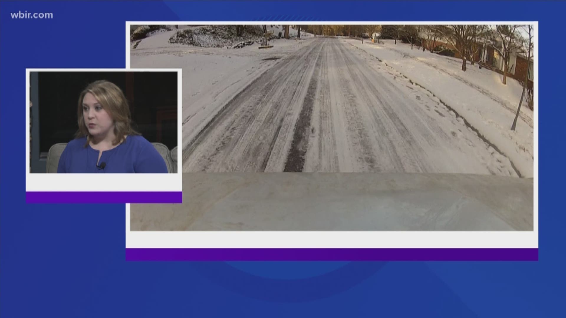
The snow will move out in the mid-morning, and the sun will come out. But then the temperatures start dropping rapidly. That creates another problem for the roads- refreezing.
"No matter what you're using to treat the roads, it's hard to melt when it's that cold," said Weth.
Even if there's some melting, wet roads will likely refreeze overnight, especially those secondary and back roads that are not treated. We won't be back above freezing until Friday.
SHARE YOUR WEATHER PHOTOS: Use #snoWBIR on social media
"We’ll have a good day [Tuesday] to really try to treat our ones, twos and threes, but anywhere that’s not treated where the temperatures can get down into the teens will be treacherous," Weth said.
Streets are cleared according to their priority level.
Level I streets are cleared first, and include main streets with the most traffic and and those providing access to hospitals; examples include Kingston Pike, Chapman Highway, Magnolia Avenue and Broadway.
Level II includes streets connecting main streets, feeder streets to connector streets, and “trouble spots” and hills; examples include Sutherland Avenue, Martin Luther King Jr. Boulevard, Woodland Avenue, Moody Avenue and Cedar Lane.
Level III includes streets that are connectors to neighborhoods and main connections at the neighborhood level; examples include Island Home Drive, Jessamine Street, Bridgewater Road and Oglewood Avenue
The City of Knoxville has seven brine trucks and 22 salt trucks. It said it also brought in about 50 workers overnight to deal with the roads, so hopefully we can all get where we are going.
The Tennessee Highway Patrol said it will have troopers available to tow abandoned vehicles off the interstate in the case they get stuck in the weather in order to keep roads clear for treatment and emergency crews.
Officers said people needing highway assistance should call *847 (*THP) to have a trooper dispatched to their location.
►Make it easy to keep up-to-date: Download the WBIR 10News app now and sign up for our Take 10 Lunchtime Newsletter.
Have a news tip? Email 10Listens@wbir.com, or visit our Facebook page or Twitter feed.