KNOXVILLE, Tenn. — It's that time of year... Cold air + moisture = a chance for wintry weather in East Tennessee.
A strong cold front will bring cold Canadian air to the region tonight and Wednesday but it's the wind direction that will help to create snow chances.
Once the cold front passes, winds from the north-northwest will continue to pull moisture down from the Great Lakes.
As that air runs into the mountains, it is pushed upwards, creating snow showers in the high elevations.
These "Northwest Flow" events can produce significant snow totals in the mountains but we aren't expecting anything too crazy this time around.

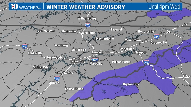
A Winter Weather Advisory is in effect for the mountains of Blount, Cocke, Sevier, Greene and Monroe counties until 4 p.m. Wednesday. The Tennessee Department of Transportation said crews will be out pretreating some state routes in Sevier and Cocke counties ahead of the snow.
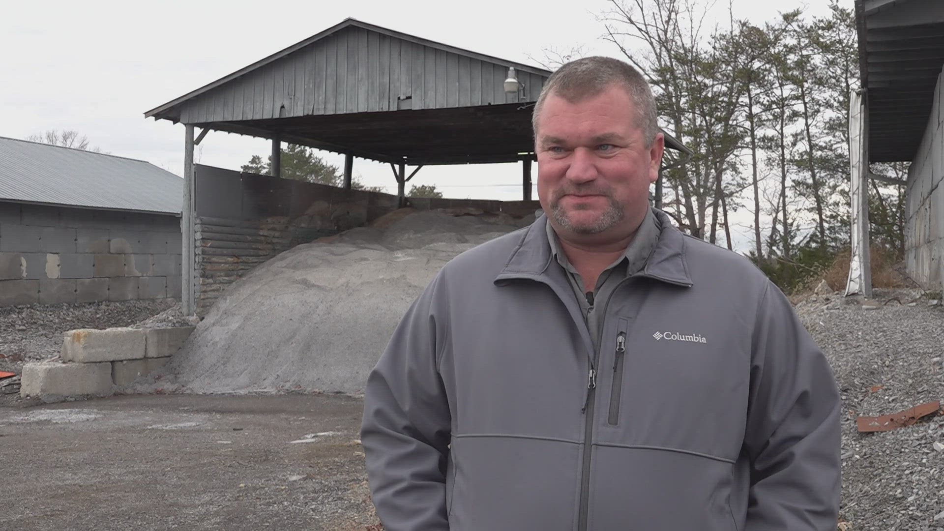
Sevier County Highway Department Assistant Road Superintendent Donnie Adams said crews are always prepared for the storm to potentially affect more heavily populated areas.
"As the snow comes down, we'll plow and then when it slows down, we turn to the salt to keep it from freezing," Adams said.
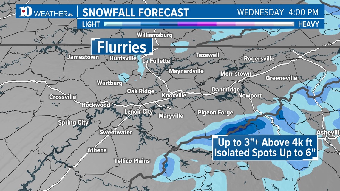
Areas above 2,500 feet in elevation could see 1"-3" of snow, with elevations above 4,000 feet receiving 3"+ of accumulation.
Some of the highest places like Mt. LeConte and Clingmans Dome could see up to 6" of snow by the end of the event.
Flurries are possible on the Plateau Wednesday morning but little to no accumulation is expected. Due to warm ground temperatures, we don't expect any impacts to travel.
Locations above 2,000 feet in Southeast Kentucky could also see light accumulations, mainly on grassy and elevated surfaces.
The greatest impacts on travel will be in places where the highest totals are expected, and a Winter Weather Advisory has been issued for the areas shaded in purple below from late Tuesday night through 4 p.m. Wednesday.


The Seiver County Highway Department is asking that the public stay extra vigilant if you must leave your house.
"If you see any of our trucks on the road, give them plenty of room. It's much harder for them to stop because they're so big and the slick conditions could make it dangerous for them," Adams said.