
MONROE COUNTY, Tenn. — People in Monroe County may soon spot areas of the Cherokee National Forest that appear to be on fire. There's a chance sightings like that can be related to planned and controlled burns in the area.
Forest leaders said in a press release that firefighting crews are planning to conduct controlled burns on Forest Service property starting Monday through the winter months. The burns are conducted following a plan that calls for specific weather conditions, smoke dispersion, and other environmental conditions.
As a result of those specific conditions, the release said the decision to conduct a controlled burn often cannot be made until the day of the burn. So, information about specific days when controlled burns would happen was not immediately available.
However, the release said those conditions are usually seen during winter months.
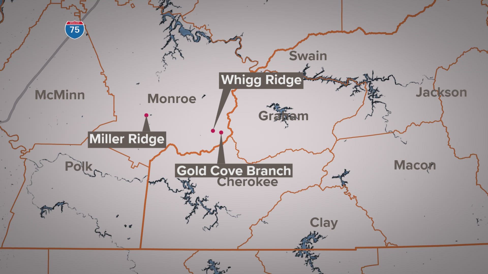
The Tellico Ranger District will conduct controlled burns in various areas in Monroe County, listed below.
- Whigg Ridge (4,919 acres) – Between National Forest Service Road (NFSR) 210, 216, 217, Sycamore Creek and Gold Cove Branch.
- Miller Ridge (4,252 acres) – Between NFSR 35-1, 36-1, Ballplay Creek, NFSR 284 (Rafter Rd.) and Flats Creek.
- Small wildlife fields
The Ocoee Ranger District will also conduct burns in the Polk County area. The locations of those burns are also listed below.
- Towee/Wildcat/Loss Creek (2,653 acres) – Between NFSR 2015, NFSR 2016, NFST 152/82, the Hiwassee River and NFSR 108.
- Island Creek (447 acres) – Between Parksville Lake and NFSR 302.
- Johnson Branch (943 acres) – Between Parksville Lake and NFSR 302, 302A and near Camp Cherokee.
- Sina Branch (608 acres) – Between NFSR 67 and 99.
- Sheeds Creek (3,042 acres) – Between NFSR 221 and 62.
- Chestnut Mountain (1,605 acres) – Between NFSR 221, NFSR 221E, NFSR 62 and NFST 145.
- Small wildlife fields