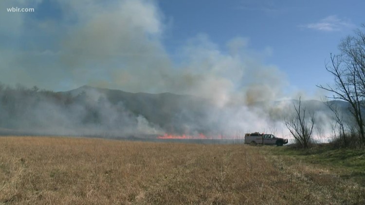
MONROE COUNTY, Tenn. — The Cherokee National Forest is planning several prescribed burns in March and April for Polk and Monroe counties.
The burns are a part of the Cherokee National Forest Prescribed Burning Program. The program reduces vegetation that would fuel wildfires and promotes new plants to grow in the area.
The burns are weather dependent and could change.
The burns planned for Monroe county are:
- Indian Boundary (113 acres): Between Citco Creek Rd and the Rafter Rd.
- Miller Ridge (4,230 acres): Between Lost Cove Branch Road, Tavern Branch Road and Rafter Road.
- Maple Knob (1,525 acres): Between Tellico River Rd. and Bald River Rd.
- Green Cove (1,645 acres): Between Tellico River Rd. and Bald River Rd.
The burns planned for Polk county are:
- Pace Gap Unit B (1100 acres): Between FSR 374, Big Creek, FSR 33272 and is south of Parksville Lake.
- Rough Creek (830 acres): Between FSR 221 and the Ocoee River.
- Laurel Branch (740 acres): Between FSR 221L, Tumbling Creek and the Ocoee River.


