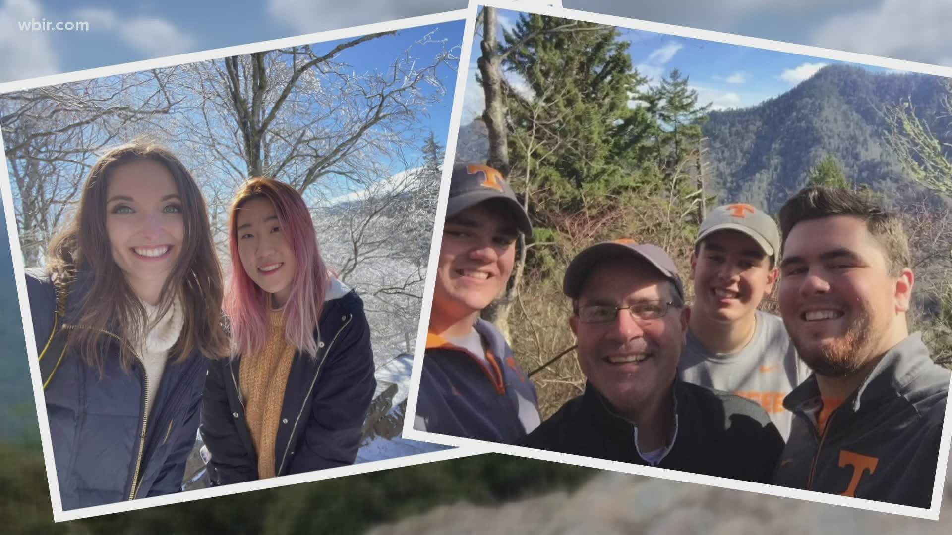
SEVIER COUNTY, Tenn. — Part of leaving no trace when visiting a national park is taking only photos and memories. Who said those photos can't include a selfie (or fifty)?
After all, how else are you going to prove that you hiked to the end of the trail or explored that mountainside waterfall?
With more than 800 miles of trails in the Great Smoky Mountains, there is no shortage of selfie locations to boost your outdoor adventuring influencer selfie game.
Before you start snapping those selfies, you've got to keep a few things in mind.
- Watch your footing! Waterfalls are slippery. Cliffsides are steep. Many of the trails, while well-marked, are not paved.
- Be aware of your surroundings! Weather can change quickly. Rocks can come loose. Cars will drive by.
- Don't approach the wildlife! They are wild animals, and it's illegal.
- Be courteous! Other hikers will want pictures too. Don't hog the views.
Lace up your hiking boots. Pack some water. Charge your phone. Here are some of the most popular selfie spots in the Great Smoky Mountains National Park.
Destinations
Cades Cove: one of the most popular destinations in the park, on the Blount County side, several trails connect here, drive the Cades Cove Loop
Newfound Gap: right on the Tennessee/North Carolina state line, along U.S. 441, multiple scenic pullouts on Newfound Gap Road
Of course, no trip to the Smokies would be complete without a selfie or two in front of a Great Smoky Mountains National Park entrance sign. There are multiple depending on where you enter the park so keep your eyes open.
Easy Hike
Look Rock: easy 0.5-mile hike to observation tower; Blount County side of the Smokies; the highest point on Foothills Parkway
Moderate Hikes
Alum Cave: 5 miles round trip, moderate difficulty, continue for 5 miles more to just below the summit of Mount LeConte
Chimney Tops: 4 miles round trip, moderate difficulty, newly renovated trail
Clingmans Dome: 1-mile round trip, moderate difficulty due to the steep path, paved path leads to a lookout
Grotto Falls: 2.6 miles round trip, moderate difficulty, popular for wildflower viewing in the spring
Laurel Falls: 2.6 miles round trip, moderate difficulty, the trail was built to give fire crews access to Cove Mountain in case of a forest fire
Trillium Gap: 2.6 miles round trip, moderate difficulty, popular for wildflower viewing in the spring
Strenuous Hikes
Charlies Bunion: 8 miles round trip, strenuous difficulty, accessible from Newfound Gap
Mount Cammerer: roughly 11 miles round trip, strenuous difficulty rating, near Cosby area of the park, visit the Lookout built by the Civilian Conservation Corps
Mount LeConte: strenuous difficulty; several access trails including Alum Cave, Rainbow Falls, Trillium Gap, Bullhead and the Boulevard; shortest trail for reaching the summit of Mt. LeConte is the Alum Cave trail which is about 11 miles round trip; Cliff Tops and Myrtle Point are popular lookouts along the way

